
The system is due to arrive on Thursday, Dec. 22, the National Weather Service said.
Current models show the chance for potentially significant snowfall in some areas, with rain and gusty winds elsewhere, on Friday, Dec. 23 into Christmas Eve on Saturday, Dec. 24.
"The storm’s timing could not be worse given the increased number of travelers leading up to Christmas as well as the pressure retailers and shipping companies face to keep shelves stocked and items on track for delivery," AccuWeather.com said.
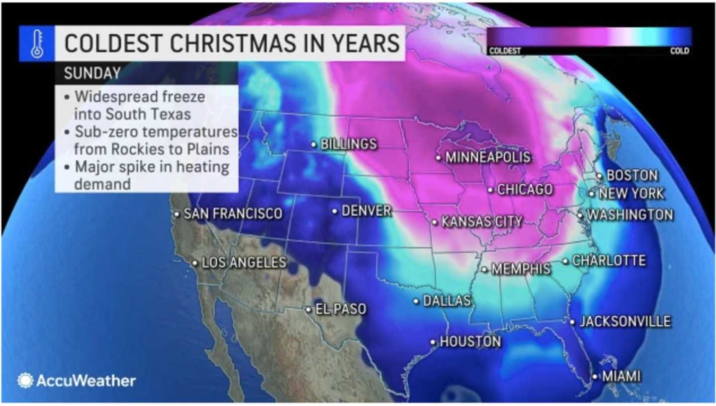
Currently, projections have the system winding down sometime on Saturday, with dry conditions expected on Christmas Day, which could be one of the coldest Christmases in years in some spots. (See the first image above.)
But there's uncertainty surrounding the precise projected timing, track, and potential strength of the system.
Check back to Daily Voice for updates.
Click here to follow Daily Voice White Plains and receive free news updates.