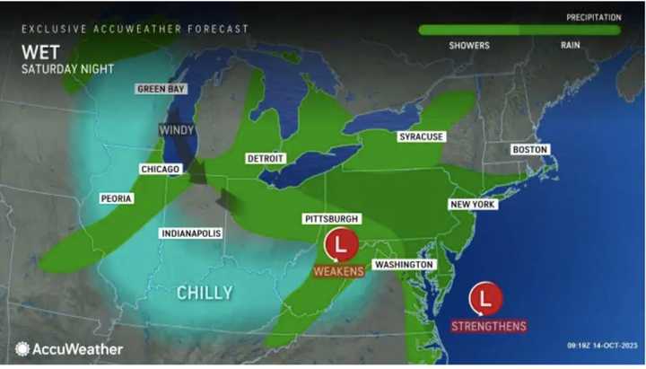
It will be cloudy throughout the day on Saturday, Oct. 14 with rain now expected to move in mid-to-late morning. That's earlier than had been projected in previous forecasts.
Rain will become steadier in the afternoon and through the evening, especially in areas farther south and east, where a half-inch to an inch of precipitation is expected.
It will be a raw day with the high temperature holding steady at around 50 degrees.
The rainfall will bring about a drop in temperatures with partly sunny skies on Sunday, Oct. 15. The high temperature will be in the mid to upper 50s.
Generally, about a half-inch to an inch of rainfall is expected from the system, with locally higher amounts.
It will be partly cloudy on Monday, Oct. 16 with a high temperature in the upper 50s.
Tuesday, Oct. 17 will be partly sunny with a high temperature in the mid to upper 50s and a slight chance of afternoon showers.
Wednesday, Oct. 18 will be mostly sunny with the high in the low 60s.
Check back to Daily Voice for updates.
Click here to follow Daily Voice White Plains and receive free news updates.

