With the temperature hovering at or just above freezing in many parts of the region, and in the mid-30s in some spots, snow is melting on contact with paved surfaces, with some slick spots on untreated surfaces.
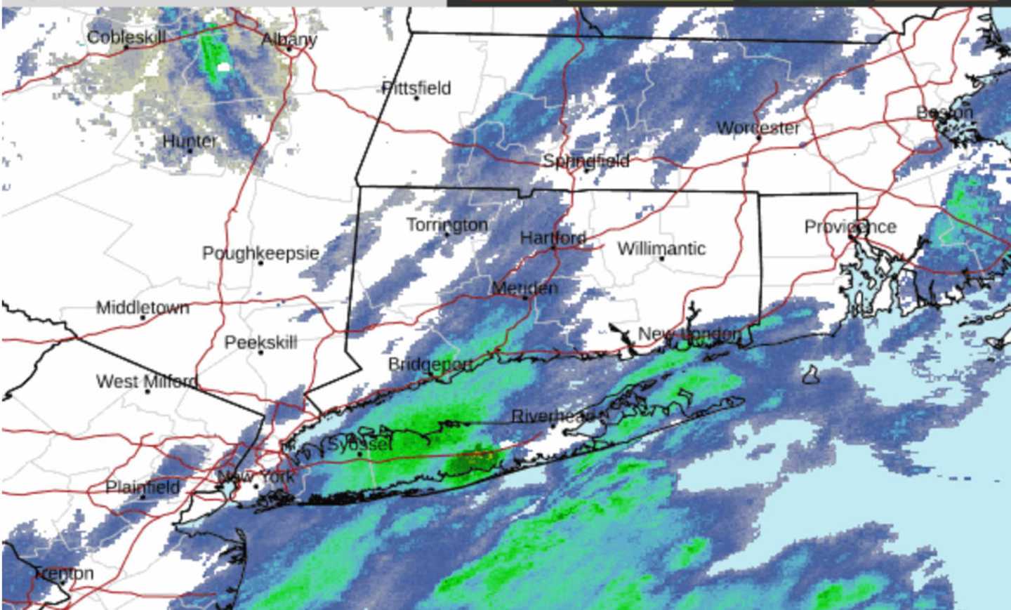
In upstate New York and much of northern New England, bands of heavy snow overnight led to a widespread 3 to 4 inches of accumulation, with up to 6 to 8 inches in some higher elevated areas.
The brunt of the system wound down by around daybreak on Monday. The rest of the day with be mostly cloudy and cold with a high temperature in the low to mid-30s.
Winds will be out of the north at between 10 and 15 miles per hour, making it feel like it's in the 20s.
Skies will be partly sunny on Tuesday, Jan. 30, which will be continued cold with a high temperature in the low to mid-30s and wind-chill values again in the 20s.
The mercury will tick up a few degrees on Wednesday, Jan. 31 with a high temperature in the mid to upper 30s.
The start of February will be marked by an increase in temperatures, with a high in the low 40s and a mix of sun and clouds on Thursday, Feb. 1.
Friday, Feb. 2 will start off partly sunny, before clouds increase in the afternoon, leading to a chance for scattered showers. The high temperature will be around 40 degrees.
Check back to Daily Voice for updates.
Click here to follow Daily Voice White Plains and receive free news updates.