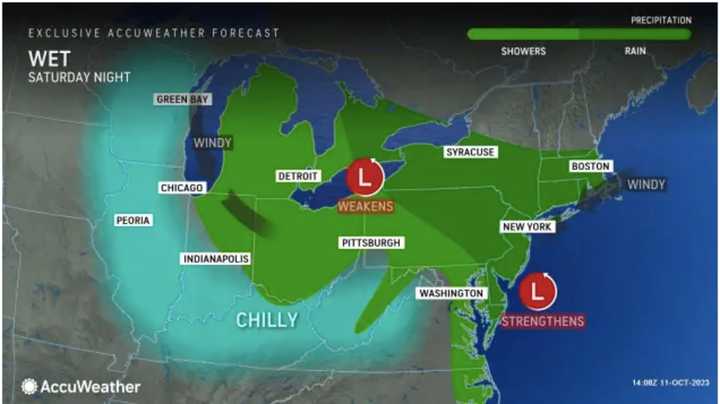
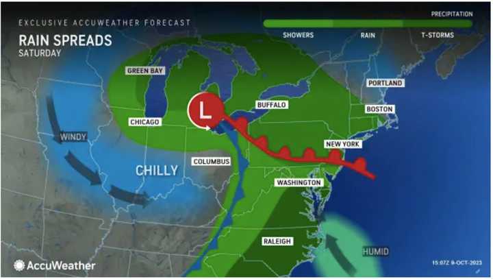
The coast-to-coast system originated in Oregon at the start of the week and is working its way through the Rockies and Midwest before its weekend arrival in the Northeast, where rainfall will be heaviest and most widespread starting late in the afternoon on Saturday, Oct. 14, and through the evening.
Ahead of the arrival of the system, Thursday, Oct. 12, and Friday, Oct. 13, will be mainly sunny, with a high temperature in the mid-60s on Thursday and around 60 degrees on Friday.
Clouds will increase Friday night as the system tracks east.
Rain will overspread the Northeast from west to east on Saturday afternoon with less rainfall in areas farthest north.
"Enough rain will fall to bring a more typical risk of flooding in the Northeast's poor drainage areas this weekend," according to AccuWeather.com.
Rain will continue into mid-morning on Sunday, Oct. 15 before skies gradually become partly sunny. There will then be a chance of showers during the day Sunday into the evening. The high temperature will be in the mid-50s.
Generally, about a half-inch to an inch of rainfall is expected from the system, with locally higher amounts.
It will be mostly cloudy on Monday, Oct. 16 with a high temperature in the mid-50s and a slight chance of showers.
Check back to Daily Voice for updates.
Click here to follow Daily Voice White Plains and receive free news updates.

