According to the National Weather Service, high pressure will take over on Thursday, July 20, producing mainly sunny skies, and keeping rain chances out of the forecast for much of the day except for a stray shower or two.
Thursday's high temperatures will generally be in the low to mid-80s.
The approaching storm system will develop in the overnight hours just before dawn on Friday, July 21.
Showers will become likely after daybreak with thunderstorms possible later in the morning, in the afternoon, and again at night.
"A frontal system is expected to bring showers and thunderstorms to the region Friday," the National Weather Service said in a statement issued early Thursday morning. "Locally heavy downpours may produce isolated to scattered areas of flash flooding."
About an inch to an inch-and-a-half of rainfall is expected on Friday, with locally higher amounts possible, especially in areas farther south.
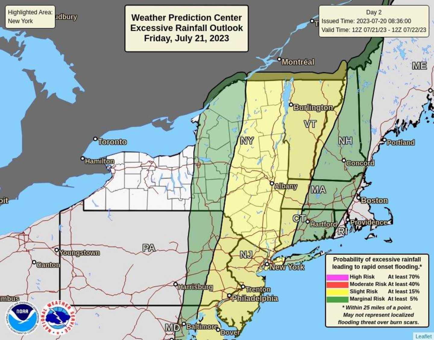
Areas at risk for excessive rainfall are marked in yellow and green in the image above.
Precipitation will gradually wind down overnight, leading to a dry weekend with mostly sunny skies both Saturday, July 22, and Sunday, July 23, and a high temperature in the mid-80s both days.
Check back to Daily Voice for updates.
Click here to follow Daily Voice White Plains and receive free news updates.