Current projections have the storm arriving in the Northeast on Thursday, Jan. 4.
There's uncertainty surrounding its potential strength and timing. Still, current models show it could bring a mix of rain and wet snow in areas farther south with accumulating snowfall possible farther north and inland.
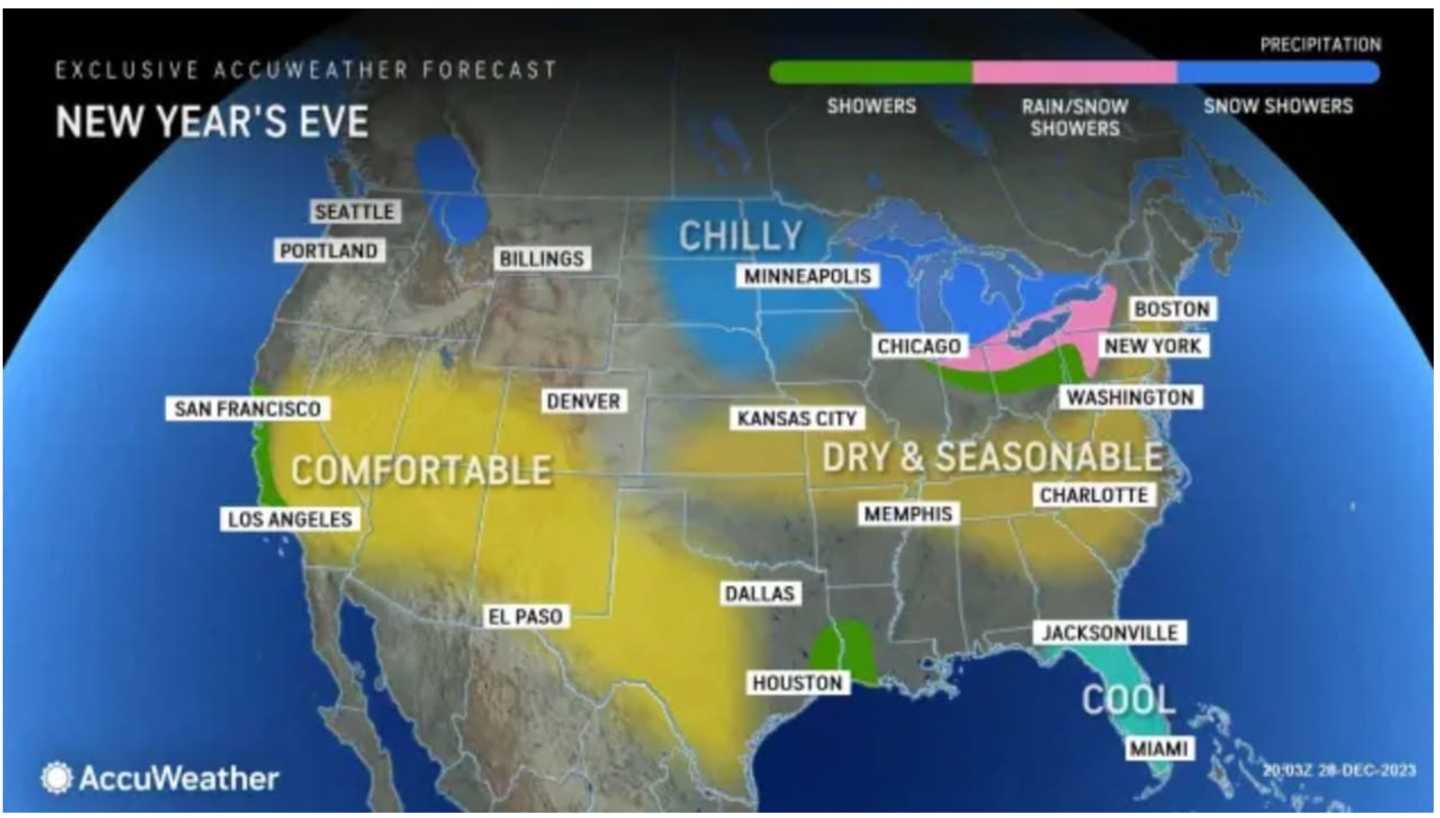
It will finally brighten up on New Year's Eve Day, Sunday, Dec. 31 with mostly sunny skies and brisk conditions with a high temperature in the low 40s.
Winds will be out of the west at about about 8 to 10 miles per hour, making it. feel like it's about 10 degrees cooler than the actual temperature.
For the dropping of the ball down the flagpole at Times Square starting right at 11:59 p.m. Sunday.
Skies will be mostly cloudy with a temperature right around the freezing mark as the ball completes its descent at midnight on Monday, Jan. 1.
Snow flurries are possible just as 2024 starts, according to the National Weather Service.
New Year's Day will be chilly with a high temperature ranging from 40 degrees to the low 40s and partly sunny skies.
Dry conditions will continue on both Tuesday, Jan. 2, and Wednesday, Jan. 3 with mainly clear skies and a high temperature in the low 40s.
Check back to Daily Voice for updates.
Click here to follow Daily Voice Suffolk and receive free news updates.