The system is now expected to arrive early in the afternoon on Saturday, Sept. 7, according to the National Weather Service. Earlier forecasts predicted the arrival time for closer to the evening.
Rain could be heavy at times and the window for storms will continue into around 8 p.m. Saturday.
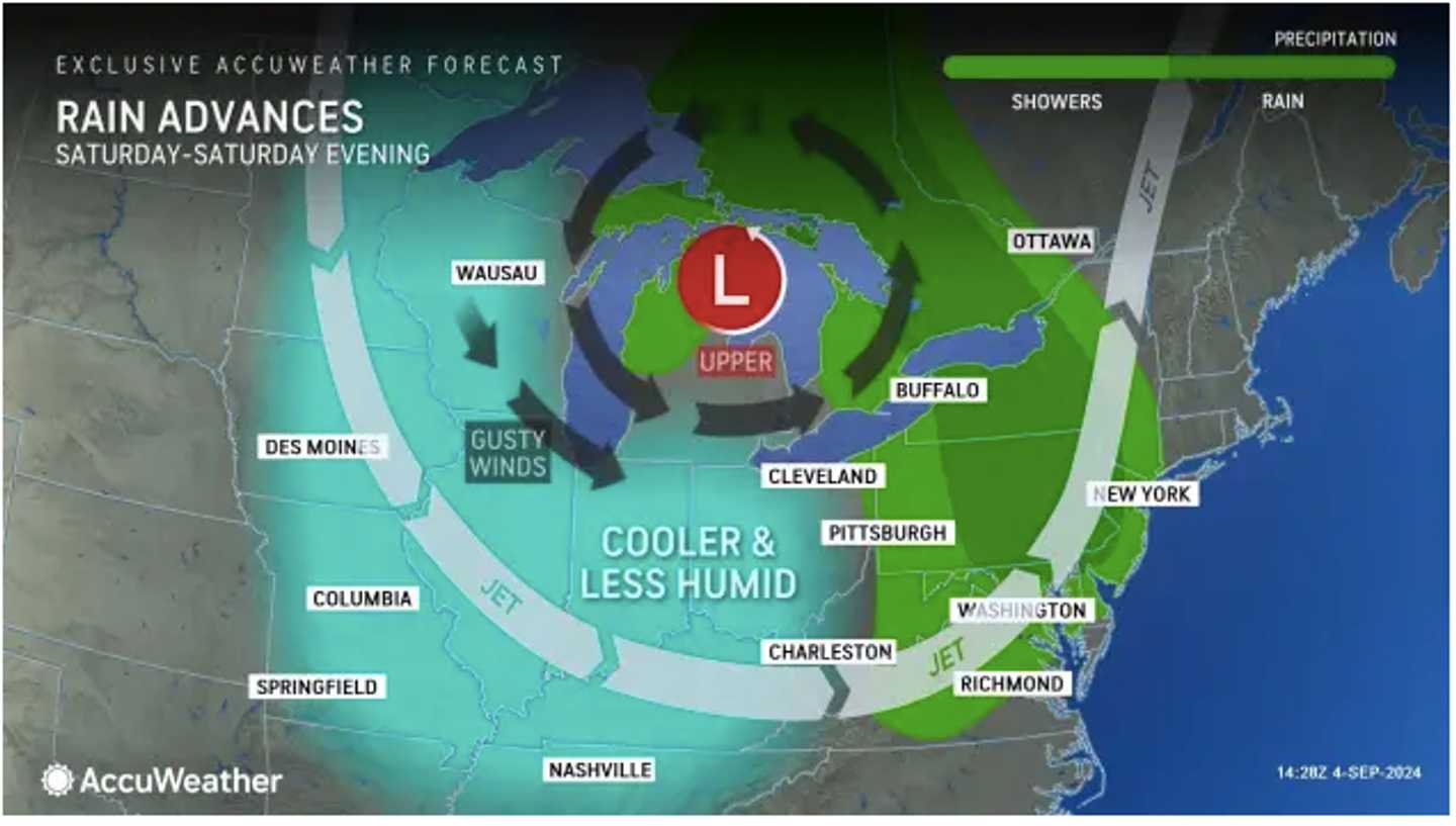
The storms will be triggered by a frontal system moving east from the northern Plains.
A massive coastal storm sweeping through the Southeast is now expected to sweep away from the Carolinas, with its possible impact on the Northeast diminishing, according to AccuWeather.com.
Ahead of the arrival of the system, Friday, Sept. 6 will become partly sunny after patchy morning fog. The high temperature will be in the mid-70s and there will be more moisture in the air.
Clouds will increase Friday night, leading to a mostly cloudy day Saturday with high temperatures in the low 70s.
About a half-inch of rainfall is expected Saturday, with locally higher amounts.
The second half of the weekend will be sunny with plenty of blue skies and a high temperature around 70 degrees on Sunday, Sept. 8.
It will remain sunny on Monday, Sept. 9, and Tuesday, Sept. 10, with high temperatures in the upper 70s on Monday and low 80s on Tuesday.
Check back to Daily Voice for updates.
Click here to follow Daily Voice Mount Vernon and receive free news updates.