A warming trend is forecast for Friday, Dec. 10, and Saturday, Dec. 11, with high temperatures in the upper 40s to around 50 on Friday, when the mercury will rise in the afternoon with the arrival of sunshine after a cloudy start.
The warm front will move through early Saturday morning.
"It will bring even warmer temperatures into the area for Saturday as highs soar into the 60s," the National Weather Service said. "In fact, some records are in danger of being broken."
Saturday will be mostly cloudy with a chance of showers "as the warm front will be nearby and a cold front approaches from the west," the National Weather Service said. "However, the best chances for showers will be in the morning with the warm frontal passage."
But it won't feel as warm as the spring-like temperatures with strong winds with speeds up to 15 miles per up and gusts as high as 30 miles per hour Saturday.
The strongest gusty winds are expected late Saturday afternoon into Saturday night " ahead and in the wake of a cold front," the weather service said.
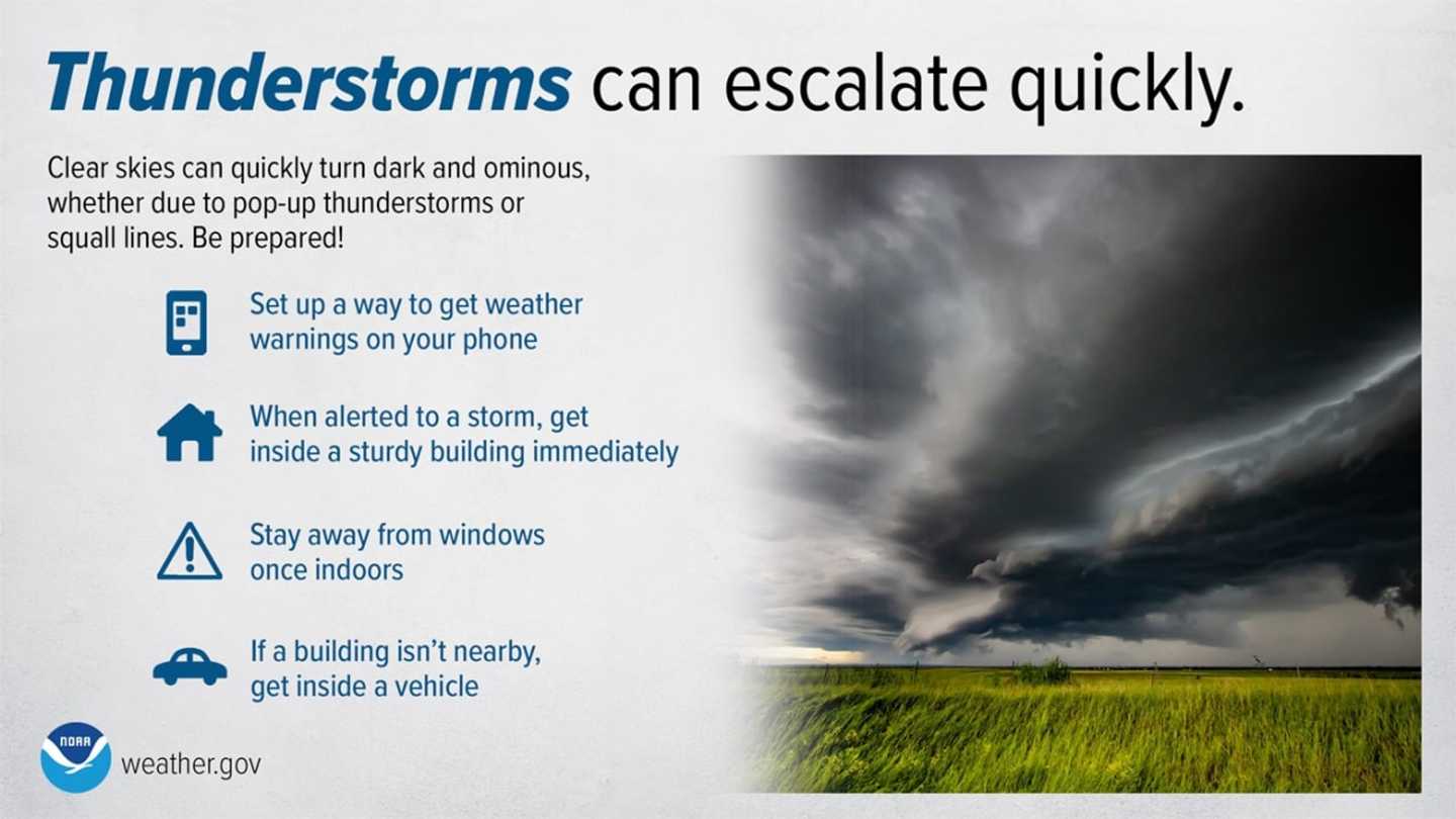
That's when there's a chance for potential severe storms.
Precipitation will continue at times through late Saturday night before skies clear, leading to a bright and sunny day on Sunday, Dec. 12 with more seasonable temperatures, and a high in the mid 40s.
Check back to Daily Voice for updates.
Click here to follow Daily Voice Mount Pleasant and receive free news updates.