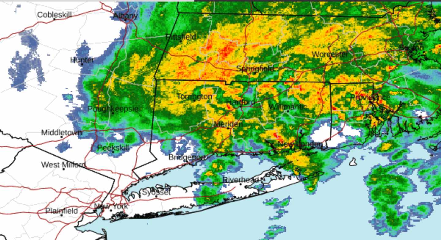
Storm activity, moving from west to east, was centered in central New England at around 7 a.m. (See the radar image above.)
Heavy rain will linger in areas farthest east, including Boston, until around midday.
For the rest of the region, including eastern New York and Connecticut, Thursday will be a mix of sun and clouds.
Spotty showers will linger in some spots during the morning, and isolated showers will be possible again in the afternoon.
The high temperature will be in the low 70s.
About a quarter to a half-inch inch of rainfall is expected from the system, with locally higher amounts possible.
Then comes the shift in the weather pattern, with a stretch of dry days and a warming trend.
Skies will be bright and sunny to wrap up the month on Friday, May 31. The high temperature will be in the low to mid-70s.
Look for more of the same on the weekend: mostly sunny skies on Saturday, June 1, and partly sunny conditions on Sunday, June 2, with high temperatures in the upper 70s each day.
The outlook for Monday, June 3 calls for partly sunny skies and a high in the upper 70s.
Check back to Daily Voice for updates.
Click here to follow Daily Voice Mount Pleasant and receive free news updates.