It will be mostly cloudy on Monday, July 29, with a high temperature of around 80 degrees.
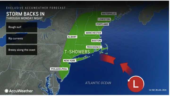
As the system backs in, it will become breezy, especially along the coast, where there will be rough surf and rip currents.
"As the system arrives on Monday, areas from New Jersey and New York to Massachusetts and Maine will experience a period of showers and locally gusty winds," AccuWeather.com says.
Scattered showers and storms will occur from the early afternoon into the evening Monday, especially in areas farther south and near the coast.
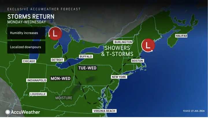
Both Tuesday, July 30, and Wednesday, July 31, will be partly to mostly sunny, with high temperatures in the mid-80s and new chances for afternoon and evening showers and thunderstorms.
As the calendar flips to August, there will be mostly sunny skies on Thursday, Aug. 1. It will be warmer, with high temperatures near 90 degrees.
There will be a slight chance for showers and thunderstorms in the afternoon and evening.
Check back to Daily Voice for updates.
Click here to follow Daily Voice Bedford and receive free news updates.

