Find Your Daily Voice
 45°
45°
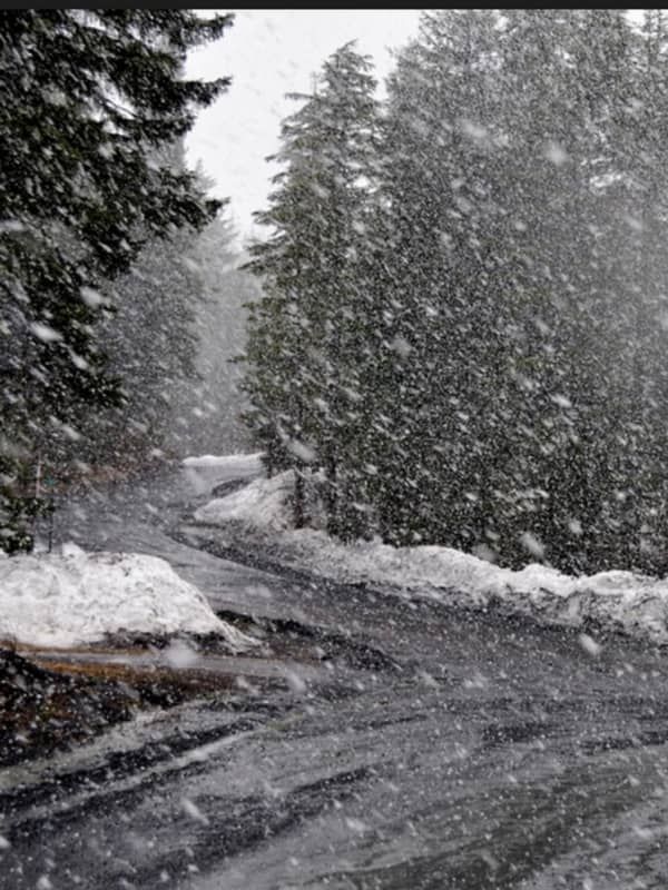
Storm Watch: Latest Update On Timing, Projected Snow/Ice Totals
List of school closures, delays in Hudson Valley
List of school closures in Fairfield County
List of school closures, delays in Bergen, Passaic counties
Here's the latest update on the latest winter storm moving through the area Wednesday morning through the afternoon.
Winter Weather Advisory for Northern Westchester, Putnam, Rockland, Dutchess, Northern Fairfield, Western Bergen County, Passaic County, 6 a.m. to 5 p.m.
Mixed precipitation expected. Total snow accumulations of up to 2 inches, with localized amounts up to 5 inches across the extreme northern portions of Fairfield county. Ic…