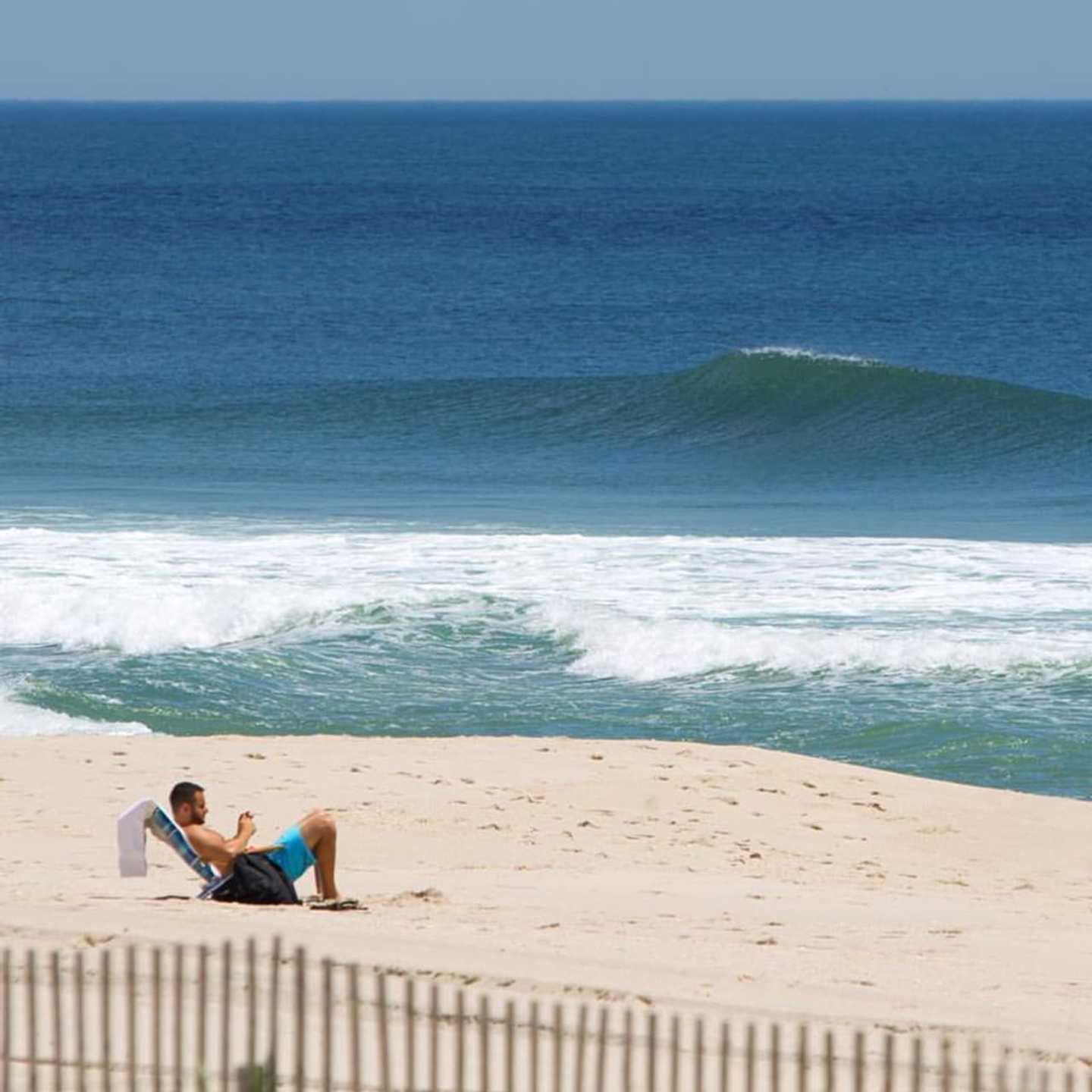
Hurricane Gaston was "well offshore and not moving much" Tuesday morning, but "the waves are building," meteorologist Joe Cioffi said.
"Additional impacts will come as the week wears on, with two other tropical systems eventually passing offshore," Cioffi said. "Plus we have a strong high building in from the north Thursday and Friday, which will add a bit of wind to the equation.
"Four- to six-foot swells will create dangerous rip currents all week. This being a big vacation week, pay attention at the shore as dangerous conditions could develop."
The National Weather Service issued a beach hazard warning through late Wednesday, urging swimmers to remain in designated areas patrolled by lifeguards -- and warning waders that "sneaker waves" could knock them into the sand.
Across Bergen and Passaic counties, a cold front that moved through on Monday lowered humidity to produce what will be "plenty of sunshine, comfortable humidity and temperatures in the low to mid 80s" on Tuesday, Cioffi said.
"Late Wednesday with the next cold front there could be a late day isolated shower or thunderstorm," he said. "After that, Thursday through Sunday looks great with sunshine and highs in the 70s to near 80.
"Nights will be in the 50s," Cioffi added. "No rain is forecast.
"Monday Labor Day looks dry for the time being and warmer with highs back into the 80s."
Click here to follow Daily Voice Hackensack and receive free news updates.