
UPDATE: “The wires going from the house to the pole look like Mother Nature is playing double-dutch,” Vinnie Hrabovsky told CLIFFVIEW PILOT at 2:30 this morning. “My toilet water looks like the ocean its got a current and waves. This is gonna be bad.”
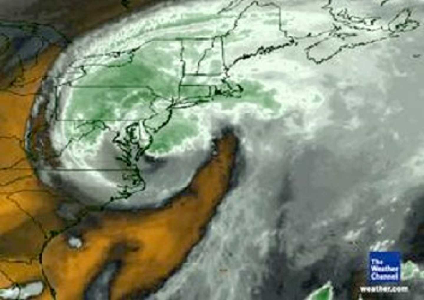
COURTESY www.weather.com
The rain stopped for a moment before another torrent fell, as if “she took a deep breath” and then was “back with a vengeance,” said Hrabovsky, 35, of Contant Avenue.
Irene has been flooding roads and knocking down trees, stranding motorists and cutting power to tens of thousands in New Jersey.
Daylight will be peeking when Irene is expected to be peaking.
CLIFFVIEW PILOT EXCLUSIVE REPORT: Massive power outages and flooding will likely continue past midnight tonight, as New York runoff swells the already overflowing Hackensack River, Pascack Brook and area reservoirs, making an already bad situation much worse, Bergen County leaders told mayors and other government officials during a 15-minute emergency conference call this afternoon. READ MORE ….
It’s not bad advice to get your rest now, in advance of the big hit, beginning with a storm surge of 4 to 8 feet above ground level along the Atlantic — one day short of six years since Hurricane Katrina crashed into southeast Louisiana.
Here’s the catch: Storm surge is the leading coastal killer in hurricanes. And: We’re headed toward a new moon, which means an abnormally high tide at … sunrise.
And get this: A tornado wouldn’t shock anyone.
In a phrase: The worst is yet to come.
“Hurricane Irene will become one of the more destructive tropical cyclones to hit the East Coast in at least several decades,” The Weather Channel warns. And while it may “only” be a Category 1 hurricane, “it remains large and formidable, somewhat akin to Hurricane Ike in 2008 when it made landfall. We remain very concerned about life-threatening storm surge, damaging winds, and flooding rainfall riding up the East Coast through Sunday.”
Irene’s last reported wingspan was up to 500 miles, its winds topping 110 mph, according to Weather Channel meteorologists. Trace a fairly straight line northeast along the Jersey coast and you’ll see how Bergen, Hudson and areas above will get popped not only with winds of 55 to 75 miles an hour but also up to a foot of rain.
Bergen ordinarily floods at 3 inches. It’s worse in Westwood, Hillsdale and other low-lying areas. August’s record rainfall has weakened tree roots, which could mean not only the risk of damage but severe power outages.
The Little Ferry circle was one of Bergen’s first areas to flood, as usual. And good ol’ Route 1/9 closed early at Secaucus Road. All of Staten Island and parts of Hoboken, New York City and Long Island have been or are being evacuated.
Otherwise, there aren’t any serious reports coming from Bergen or Hudson, as emergency forces prepare for dawn.
If ever there was a situation that fit Gov. Christie’s style, this is it.
“If I order a mandatory evacuation, you better leave,” he said earlier today. “If it turns out to be less, we should thank our lucky stars.”
We best listen to the man.
All told, nearly 1 million people have been shuttled off Long Beach Island and just about all of Cape May and Atlantic counties. And AC’s casinos are all closing for only the third time since gambling there was legalized in 1978.
With good reason: Hurricane Irene is making a beeline for Atlantic City – with winds of 80 miles an hour.
Let’s step back a moment, for perspective: In the past 160 years, the centers of only FIVE hurricanes passed within 75 MILES of New York City.
Predictions are that the eye will pass directly over Barnegat and Toms River. Last time a hurricane made landfall around here? 98 years ago.
Irene is then supposed to bank toward New York, just like a LaGuardia-bound jet from Miami. In fact, the Rockaways and all of the Jamaica Bay islands, near JFK, have all been ordered evacuated. Same for the Brooklyn waterfront, and for the southern tip of Manhattan east of Pearl Street and west of the West Side Highway, including all of Battery Park City.
New York City subways close at noon Sunday. Thousands of flights have been cancelled at all five major New York-area airports. And although the Port Authority is keeping the bridges and tunnels open, for now, PATH service stopped Saturday afternoon.
More than 1.5 million people along the Eastern Seaboard were without power as of 1 a.m.. Ironically, meteorologists earlier tonight said there was no longer need to worry in Cape Fear. In one North Carolina town, a large limb that blew off a tree crushed a man. An 11-year-old boy in Virginia was killed when a tree crashed through his window. Another reported death involved a tree that fell onto a car.
As of 1 a.m. six deaths were directly tied to Irene: In Virginia, an 11-year-old boy in was killed when a tree crashed through his roof and a passenger died when one fell on a car; In North Carolina, a child died in a crash at an intersection where traffic lights were out and a man was killed by a flying tree; Heavy waves claimed a Florida surfer. Details of the sixth death weren’t immediately available.
TELL US YOUR STORY. YOU CAN DO SO BELOW, OR WRITE: cliffviewpilot@gmail.com (It will appear in this space). Operators are on-duty throughout the night and past dawn. Godspeed ….
{loadposition log}
Click here to follow Daily Voice Hackensack and receive free news updates.