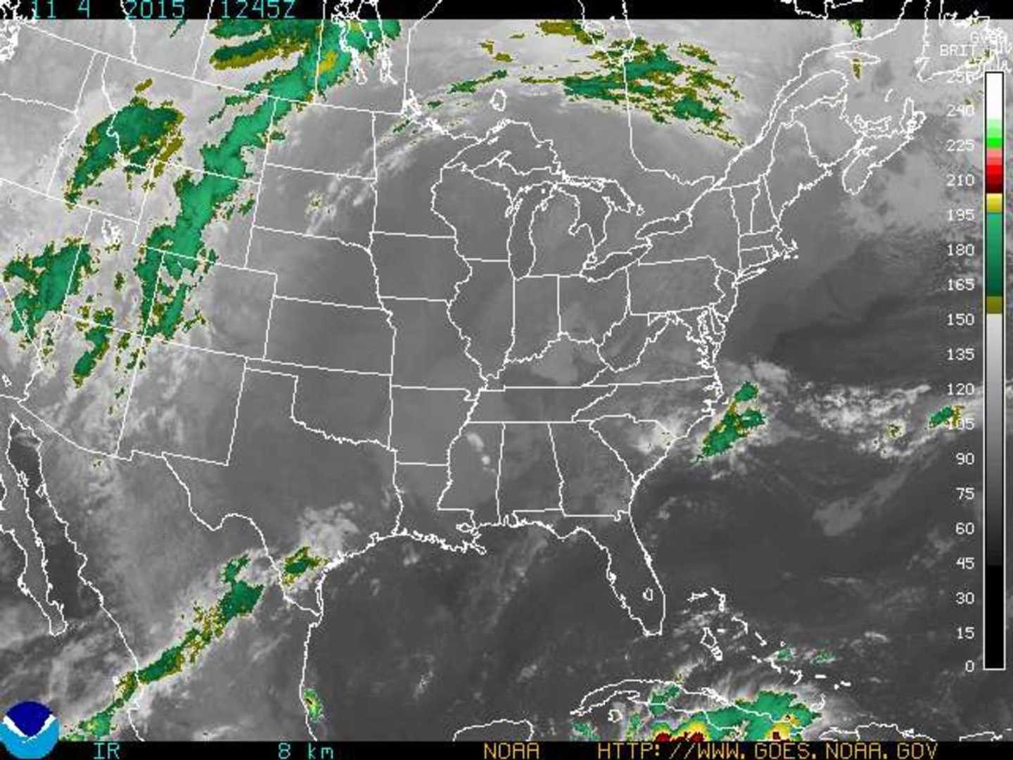
An area of high pressure will result in continued warm and mainly dry weather through Thursday, then a warm front will bring isolated showers, higher humidity and slightly cooler temperatures that will last until Saturday, reported the National Weather Service.
The forecast through Saturday includes:
Thursday: Isolated showers after 4 p.m. Patchy fog before 9 a.m. Otherwise, mostly cloudy, with a high near 69. Calm wind becoming southwest around 6 mph in the afternoon. Chance of rain is 20 percent.
Thursday Night: Scattered showers, mainly before 4 a.m. Patchy fog after 1a.m. Otherwise, mostly cloudy, with a low around 57. South wind 3 to 5 mph. Chance of rain is 30 percent.
Friday: Isolated showers before 9 a.m., then isolated showers after 1 p.m. Patchy fog before 9 a.m. Otherwise, mostly cloudy, with a high near 74. Southwest wind 6 to 13 mph. Chance of rain is 20 percent.
Friday Night: Isolated showers. Mostly cloudy, with a low around 57. Chance of rain is 20 percent.
Saturday: Partly sunny, with a high near 62.
Saturday Night: Partly cloudy, with a low around 42.
Click HERE for more information.
Click here to follow Daily Voice Hackensack and receive free news updates.