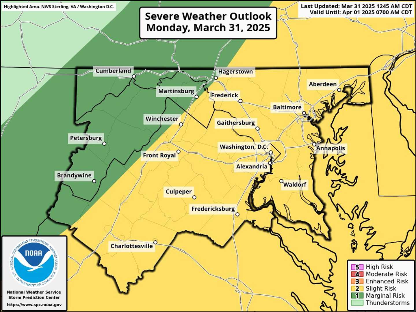
An alert was issued by the National Weather Service on Monday, March 31 advising that there is a risk in the DMV region for severe thunderstorms after an unseasonably warm day.
Forecasters said that the primary risk is damaging wind gusts that could lead to isolated tornados and severe hail in some parts of the area.
Wind gusts may near 60 mph, officials cautioned.
"A strong cold front will cross the area tonight, bringing a risk for severe thunderstorms this afternoon and into the overnight," they said.
On Monday afternoon, a Hazardous Weather Outlook was also issued for the Maryland portion of the Chesapeake Bay, Tidal Potomac River, and I-95 corridor through central Maryland, northern Virginia, and DC.
Cooler temperatures are expected on Tuesday, with mostly sunny skies, according to the National Weather Service, before more rain heads to the DMV region to start the weekend.
Want breaking news in the DMV as it happens, or want to contribute? Join the DMV All Incidents Facebook group.
Click here to follow Daily Voice Towson and receive free news updates.