
The time frame for the system is Sunday, March 16 into St. Patrick's Day on Monday, March 17, according to the National Weather Service.
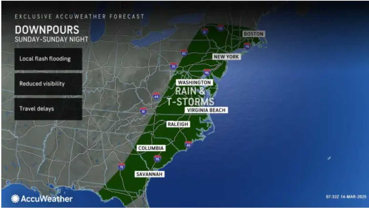
See the first image above from AccuWeather to see the broad area where rain and thunderstorms are expected.
Click on the second image above to see where the strongest wind gusts are predicted, with gusts up to 60 mph in locations in the darker shade of purple.
It's part of a massive system spreading across dozens of states into early Monday, with a significant threat of tornadoes in southern Tennessee, Louisiana, Alabama, Mississippi, and northwest Georgia.
The storm will move out overnight Sunday into Monday. St. Patrick's Day will be cloudy with mild temperatures.
Skies will clear on Tuesday, March 18, which will be sunny and mild.
Look for more of the same on Wednesday, March 19.
Check back to Daily Voice for updates.
Click here to follow Daily Voice North East and receive free news updates.