Find Your Daily Voice
 44°
44°
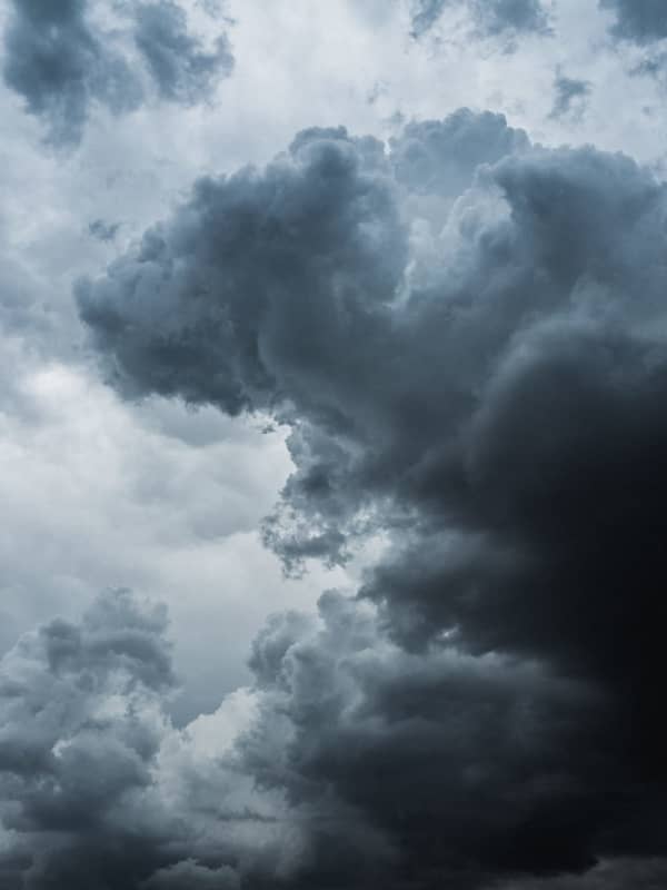
Mass Man Killed By Falling Tree While Camping With Fiancée In Vermont ID'd
A 33-year-old Hampden County man on a camping trip in Vermont was killed on Friday, Sept. 8, when a tree fell on him during a storm, authorities said.
Joshua Przybycien, of Palmer, was camping with his fiancée, Kathryn Workman, in Somerset, Vermont, when high winds and heavy rains toppled the tree around 1 a.m., Vermont State Police said. No one else was injured.
Related: Community Rallies Around Palmer Man Killed By Falling Tree
Adam Przybycien posted on Facebook that Joshua was "kind and loved by all."
Long Live Joshua Przybycien. I Love you man it still don’t feel real and it …
New Winter Storm Expected To Bring Snow, Sleet, Rain, Cause Slippery Travel
A new storm headed to the region is expected to bring a mix of snow, sleet, and rain that could cause slippery travel conditions.
The time frame for the system is late Monday night, March 6 into Tuesday morning, March 7, according to the National Weather Service.
Leading up to the storm's arrival, Sunday, March 5 will be mostly sunny with a high temperature in the mid to upper 40s.
Monday will start off with clear skies as the high temperature climbs to around the 50-degree mark.
Clouds will increase at night ahead of the storm's arrival.
Areas where the overnight temperature stays…
These Areas Could See Snowfall From Potent Storm Headed To Northeast
A complex new storm on track for the Northeast is expected to bring a mix of rain, sleet, and snow.
Ahead of the arrival of the system, there will be a return to warmer-than-normal temperatures for this time of year Sunday, Feb. 19, and Presidents Day on Monday, Feb. 20 into Tuesday, Feb. 21, according to the National Weather Service.
High temperatures during that street will range from the upper 40s to low 50s with cloudy skies each day,
Showers are possible both Monday and Tuesday, with some areas seeing snow showers overnight Monday into Tuesday morning.
The potent stor…
Storm Watch: Fast-Moving System Brings Rain, Sleet, With Up To Foot Of Snow Farther North
A complex storm is bringing rain to much of the region, with sleet farther inland, and as much as a foot of snow in some spots in upstate New York and northern New England.
The storm, which arrived late Sunday afternoon, Jan. 22, has continued into Monday morning, Jan. 23.
The storm is expected to wind down late in the morning or around midday on Monday, with skies gradually clearing on a brisk and breezy day with a high temperature in the upper 30s to low 40s, according to the National Weather Service.
"For snow lovers in and near the big I-95 cities in the Northeast, this is another disa…
Here's Latest On Major Storm Packed With Heavy Rain, Strong Winds, Sleet, Snow
A potent storm bringing a mix of heavy rain, strong winds, sleet, and snow is nearing the Northeast.
The system is now expected to arrive in this region earlier than had been earlier predicted, on Thursday morning, Jan. 12, before continuing through the afternoon and intensifying Thursday night, according to the National Weather Service.
Northern New York and New England could see up to 6 inches of snowfall. (Click on the first image above for snowfall projections.)
In most of the Northeast, mainly rain is expected with a wintry mix possible farther inland (pink) and snow in those par…
Timing Shifts For Major Storm Packed With Heavy Rain, Strong Winds, Sleet, Snow
The projected timing for a significant storm bringing a mix of heavy rain, strong winds, sleet, and snow has changed.
The system is now expected to arrive in this region earlier than had been earlier predicted, on Thursday morning, Jan. 12, before continuing through the afternoon and intensifying Thursday night, according to the National Weather Service.
Mainly rain (shown in green in the first image above from AccuWeather.com) is expected with a wintry mix possible farther inland (pink) and snow in some parts of northern New York and New England (blue).
Northern New York and Ne…
After The Storm: Bitter Cold For Christmas Eve, Xmas Day Before Big Change In Weather Pattern
Let's hope Santa Claus is wearing an extra pair -- or two -- of long johns.
That's because Christmas Eve and Christmas Day will be the coldest in decades.
A powerful, massive storm that brought a mix of heavy rain, damaging winds, sleet, and snow, has now moved off the coast, but the passage of a cold front accompanying the system has led to a dramatic dip in temperatures.
The wind-chill factor on Christmas Eve on Saturday morning, Dec. 24 is below zero degrees in most of the region.
After a sunny start, clouds will increase during the day, but the high temperature will only be in the mid…
How Much Snow Did You Get? A Look At Totals Throughout Region
Snowfall totals from a potent quick-moving storm that swept through the region were wide-ranging.
Here are some totals from the National Weather Service and other reports as of Monday morning, Jan. 17. If you don't see your hometown, leave the total by posting a comment below.
New York
New York City
Central Park, 1.35 inches
Nassau County
Great Neck, 1.84 inches
Levittown, 1.63 inches
Seaford, 1.65 inches
Syosset, 1.65 inches
Wantagh, 1.59 inches
Suffolk County
Amityville, 1.60 inches
Huntington, 1.80 inches
Miller Place, 1.76 inches
Patchogue, 1.80 in…
Massachusetts Braces For Possible New Round Of Storms Amid Cleanup, Power Outages Overnight
There will be no rest for the weary in Massachusetts after thousands lost power during the recent round of storms, with more wicked weather heading to New England.
On Tuesday, July 6, a quick-moving storm uprooted trees, downed power lines, and knocked out power to thousands in Massachusetts, leaving utility crews to scramble and work through the night to make repairs.
As of 12:15 p.m. on Wednesday, July 7, power was largely restored to utility customers in Massachusetts, though some National Grid and Eversource customers were still reporting random isolated outages.
While the region recov…
Thousands Lose Power In Massachusetts From New Round Of Storms
The latest round of storms to roll through the region left thousands in Western Massachusetts without power overnight.
According to the Massachusetts Emergency Management Agency, as of 10 p.m. on Wednesday, June 30, there were more than 25,000 customers without power at the peak of the storm, as the storm downed trees and power lines.
Crews worked through the night to make repairs, restoring power to thousands, with less than 2,000 still reporting outages as of 5:45 a.m. on Thursday, July 1.
As of 10 a.m. on Thursday morning, MEMA was reporting 4,836 customers who were without powers as c…