The system arrived overnight Friday, Feb. 16, and is expected to continue into Saturday afternoon, Feb. 17 before winding down from west to east.
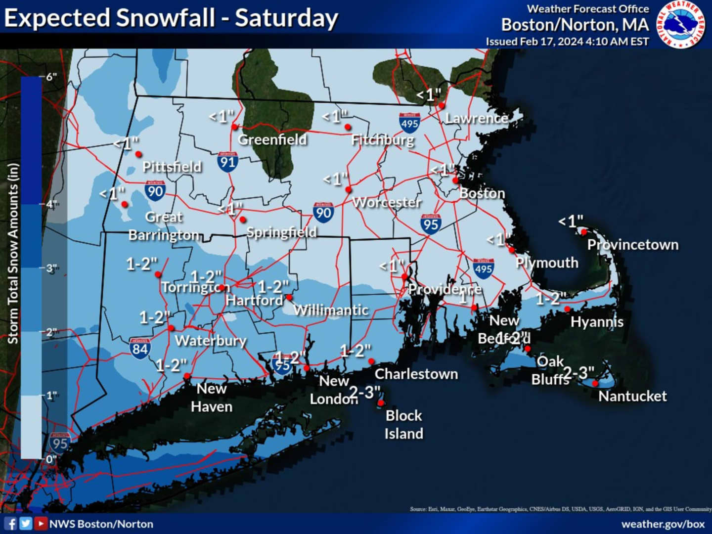
In a new forecast map released by the National Weather Service, most of Massachusetts and Connecticut are expected to receive about an inch or 2 of snowfall.
The highest amounts are forecast for southwestern Connecticut, where 3 or so inches is possible in Fairfield County.
After the system pushes through, there will be gradual clearing on Saturday afternoon as the high temperature reaches the mid-30s.
That will lead to a mostly sunny day on Sunday, Feb. 18 with temperatures in the mid-30s.
Presidents' Day on Monday, Feb. 19 will be sunny with a high in the low 40s.
The outlook for Tuesday, Feb. 20 calls for mostly sunny skies with a high temperature in the upper 30s to low 40s.
Check back to Daily Voice for updates.
Click here to follow Daily Voice Worcester and receive free news updates.