But that all changed late last week, and things escalated quickly.
Back-to-back storms on Friday, Nov. 12, and Saturday, Nov. 13 brought a total of nine tornadoes to New York and Connecticut, with eight on Saturday. For details on the four twisters that hit Long Island and another four that touched down in Connecticut on Saturday, click here.
That was followed by an Alberta Clipper system that resulted in the first measurable snowfall of the seasons in parts of northern New York and New England Sunday night, Nov. 14 into Monday, Nov. 15. Some spots saw as much as 5 inches of snow accumulation.
After below-average temperatures to start the week, including a mostly sunny day on Tuesday, Nov. 16 with a high expected to be in the mid 40s, another change will be coming, albeit briefly, according to AccuWeather.
Wednesday, Nov. 17 will be mostly sunny and dry once again with a high in the low 50s, according to the National Weather Service.
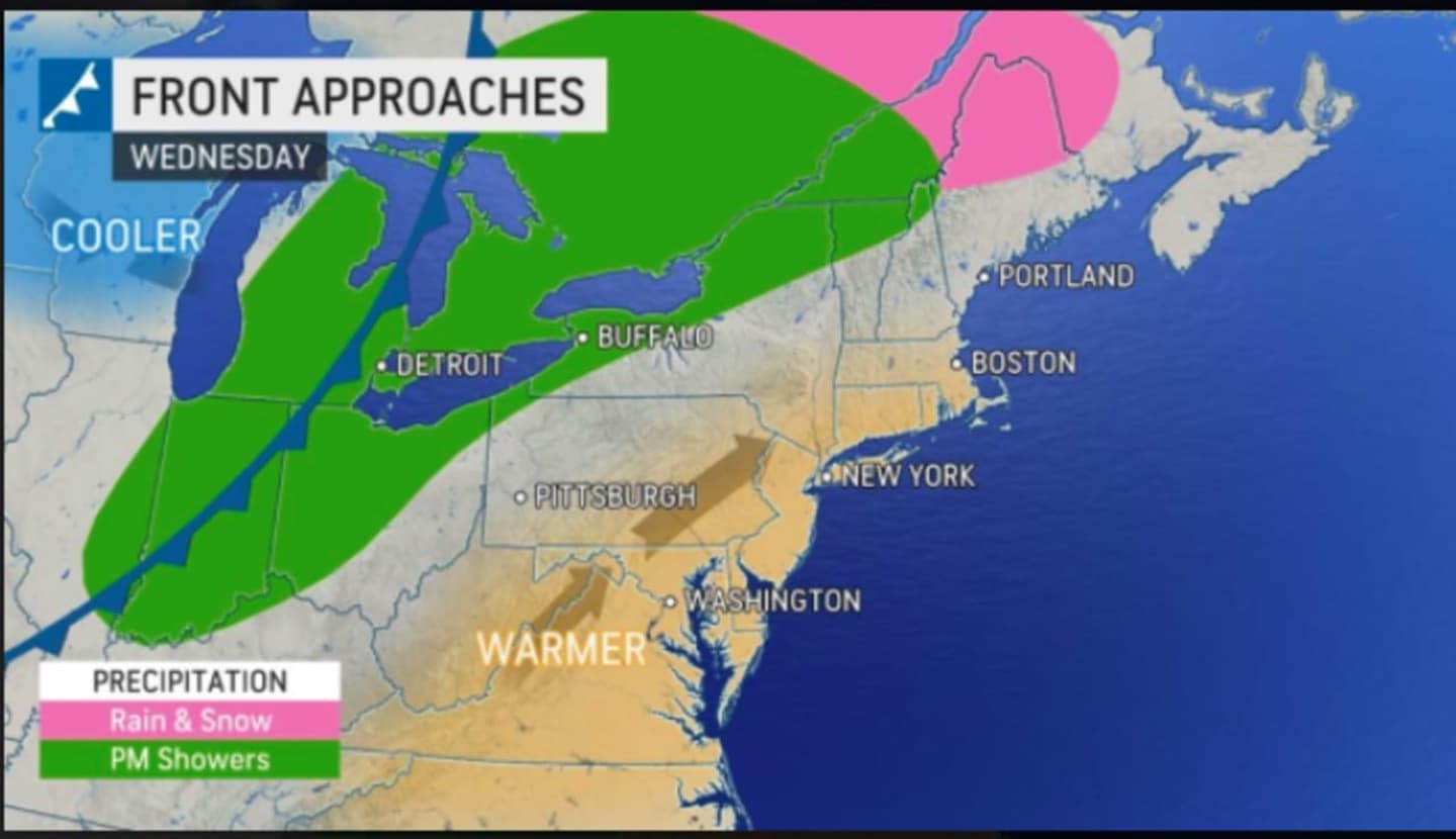
A front will then arrive that will bring precipitation for parts of the Northeast and a change in temperatures for the entire region. (See image above.)
In fact, on Thursday, Nov. 18, temperatures will climb to the mid 60s, with the daytime high across the region being generally about 10 degrees above average.
But the topsy turvy trend will continue on Friday, Nov. 19 with temperatures plummeting again, with the daytime high expected to be only in the mid 40s.
"A cold front is expected to trigger showers later on Thursday, Thursday night, and Friday morning before the roller coaster makes a drastic dip once again," AccuWeather Senior Meteorologist Carl Babinski said.
The dip in temperatures to end the week will be triggered by a new round of rain and showers overnight Thursday into Friday.
After showers taper off Friday morning, skies will become sunny with a high temperature in the mid 40s.
Check back to Daily Voice for updates.
Click here to follow Daily Voice The Berkshires and receive free news updates.