Thursday, March 5 will be sunny with the high temperature around 50 degrees. The overnight low will be around the freezing mark with partly cloudy skies.
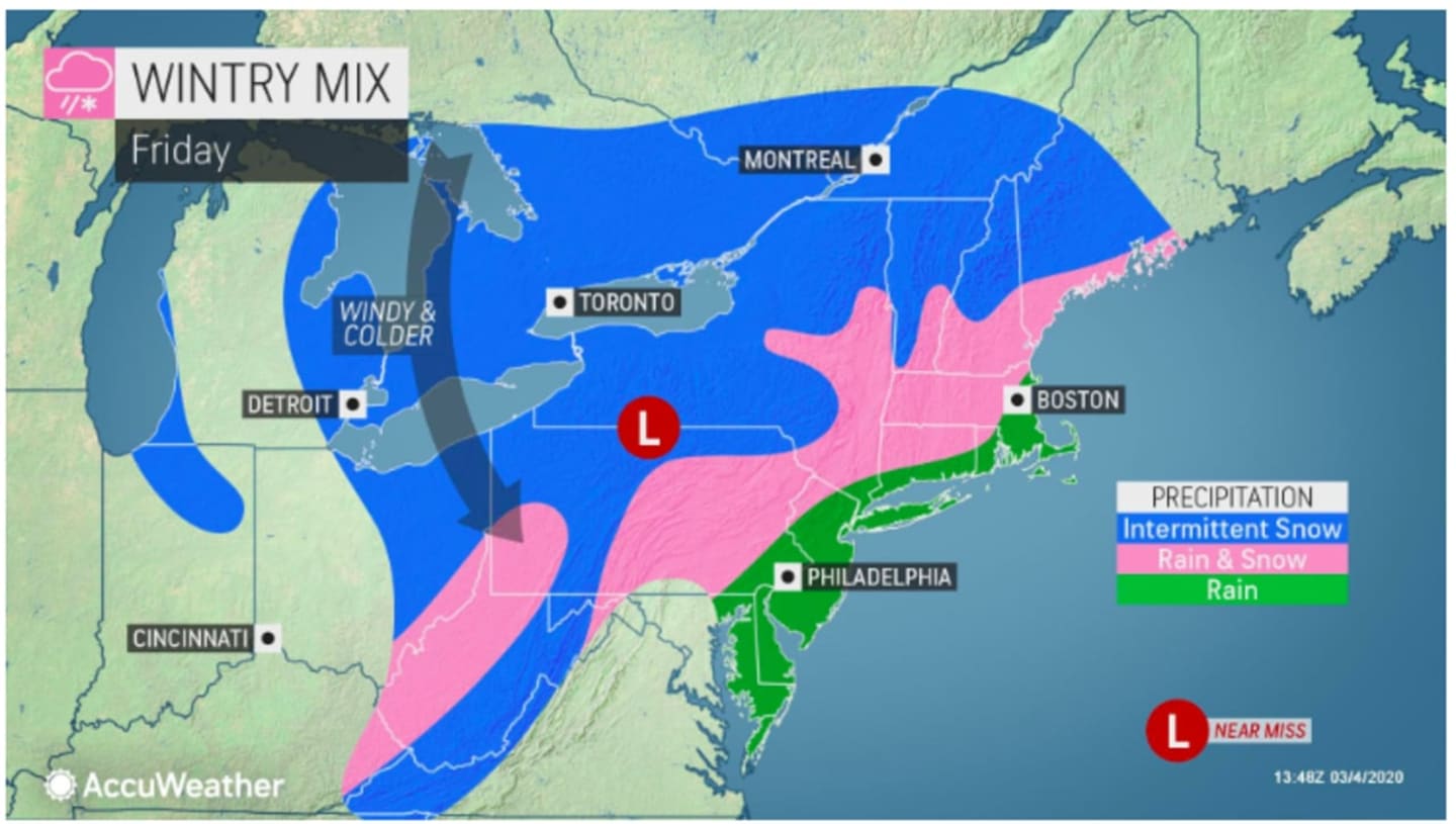
The storm will move toward the area on Friday, March 6, which will be cloudy throughout the day with the high temperature will be in the low to mid 40s.
The chance for precipitation arrives around noontime on Friday.
Temperature will fall Friday night, with the overnight low in the upper 20s to around 30 degrees and wind-chill values between 20 and 25.
As a result of the drop, rain showers will change over to snow toward midnight, especially north of I-287 in New York and the Merritt Parkway in Connecticut.
The window for snow is from midnight to about 3 a.m. Saturday, March 7.
Skies will clear as the storm pushes out before daybreak on Saturday, March 7, which will gradually become mostly sunny with a high temperature in the low 40s.
Sunday, March 8 will be sunny with the high temperature in the low to mid 50s.
Check back to Daily Voice for updates.
Click here to follow Daily Voice Wilton and receive free news updates.