
Here's the five-day forecast:
Tuesday, Feb. 25: The entire region will see rain, especially in the afternoon, and mainly after 3 p.m., on a cloudy day with a high temperature around 50 degrees. There will be a chance of light rain or drizzle in the evening with patchy fog.
Wednesday, Feb. 26: There will be areas of fog after daybreak with a chance of light rain and drizzle through noontime followed by rain and showers at times in the afternoon and evening. The high temperature will be in the mid 40s.
Areas north of I-84 and especially west, including Sullivan County, could see a period of light snow late Wednesday into shortly after midnight with 1-2 inches of snowfall accumulation possible.
Thursday, Feb. 27: The storm system will push out bin the morning on Thursday, which will become mostly sunny in the afternoon. The high temperature will be in the low to mid 40s.
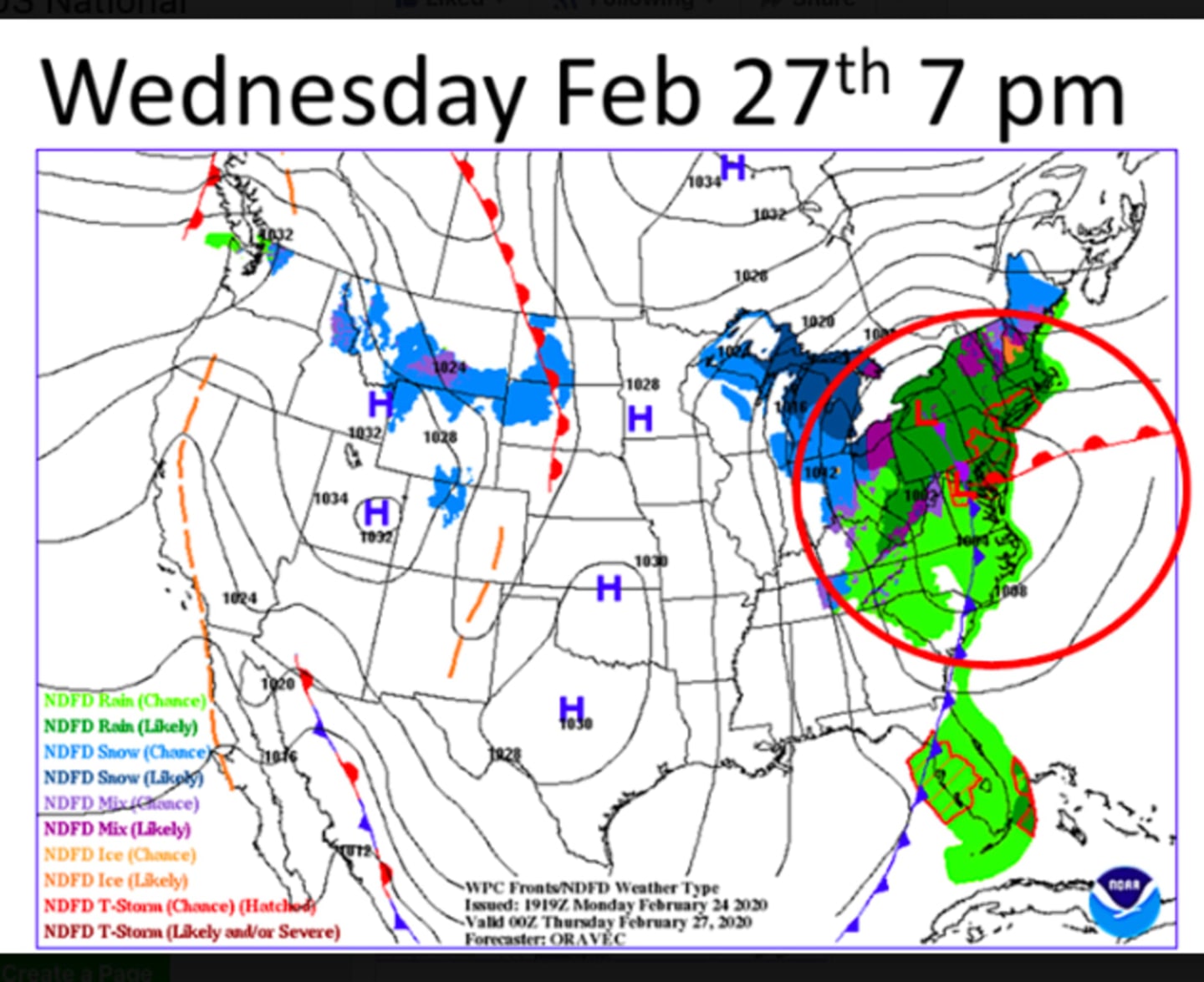
Up to an inch of rainfall is possible from the storm in this region. For projected snowfall accumulations in upstate New York and northern New England, check the second image above.
Friday, Feb. 28: Mostly sunny with a high temperature in the upper 30s.
Saturday, Feb. 29: Mostly sunny with the high temperature in the mid 30s.
Check back to Daily Voice for updates.
Click here to follow Daily Voice Wilton and receive free news updates.