Find Your Daily Voice
 45°
45°
Tag: Northeast New Jersey
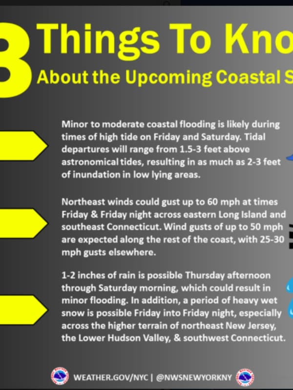
Hazardous Weather Outlook Issued By National Weather Service For Powerful Christmas Eve Storm
The National Weather Service has issued a Hazardous Weather Outlook statement for a powerful system that will sweep through the area on Christmas Eve, bringing drenching rain, thunderstorms, and damaging winds that could cause power outages.
The time frame for the storm is Thursday night, Dec. 24 into Friday morning, Dec. 25.
"The combination of lingering snowpack and heavy rain may bring flooding, with the highest potential across northeast New Jersey, the Lower Hudson Valley, and southern Connecticut," said the National Weather Service statement, issued early Tuesday mornin…
Stormy Sunday, Monday: Cold With Rainfall Up To 3 Inches, Coastal Flooding
Don't adjust your calendar.But it definitely does feel more like mid-February than mid-April, especially following a stretch of back-to-back days of true spring weather.
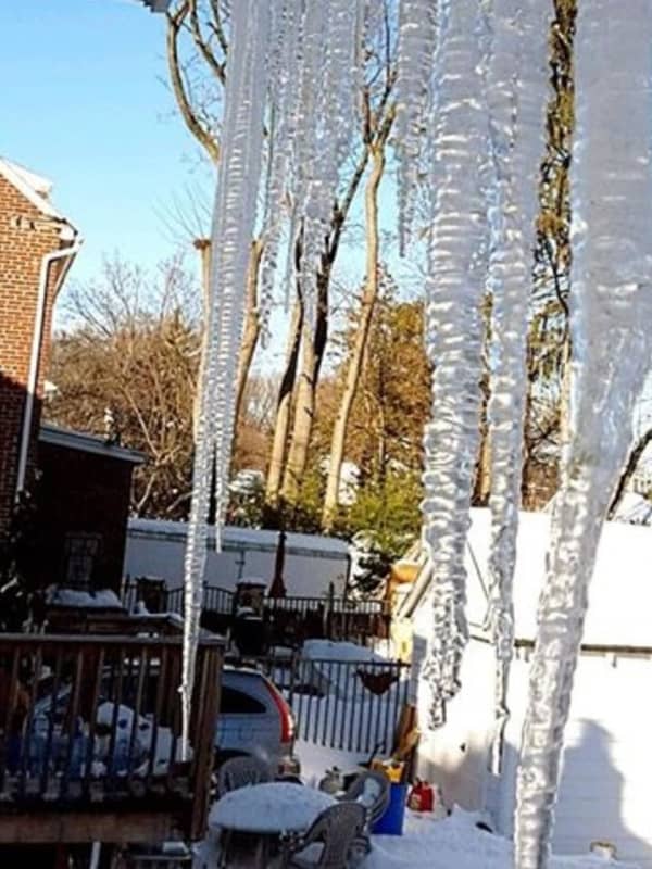
That trend will continue the next couple of days with heavy rain, possible thunderstorms, brisk winds and even the possibility of freezing rain in areas farther north.
The potential for pockets of freezing rain and drizzle into Sunday evening, mainly in higher elevations, is for Northern Westchester, Putnam Dutchess, Rockland, Orange, Northern Fairfield and Western Passaic. A glaze of ice accretion is possible.
A period of…