Projected snowfall totals have been updated for Connecticut and Massachusetts as a new winter storm moves up toward the Northeast.
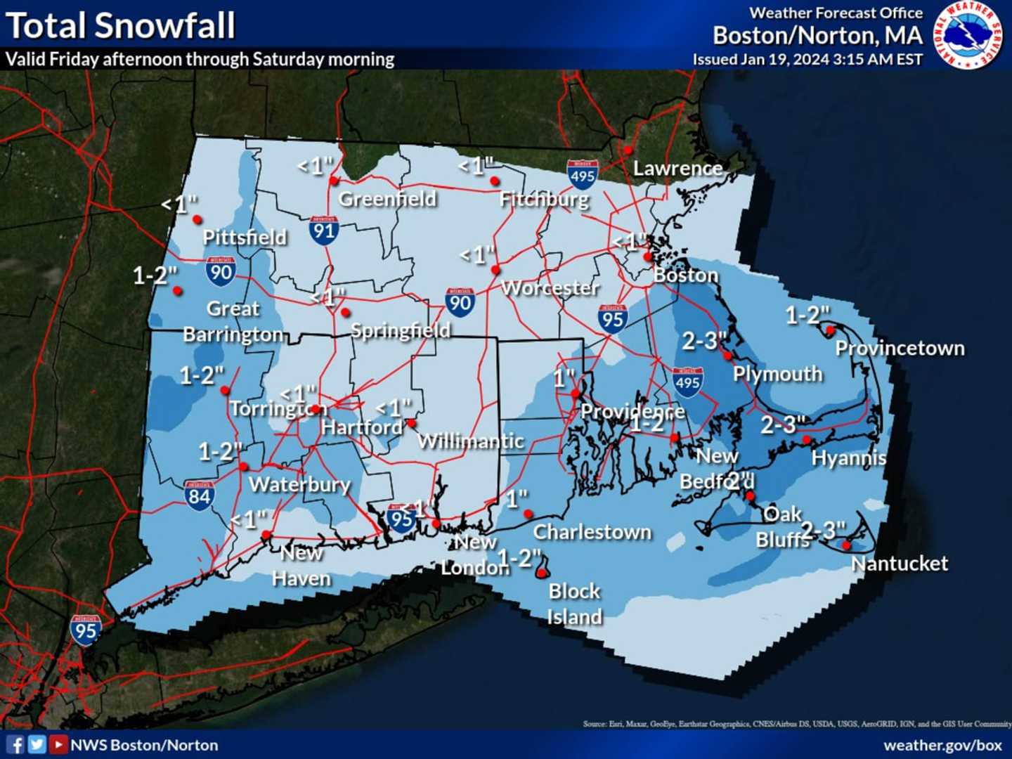
A widespread 1 to 2 inches of accumulation is expected in both states, with accumulation totals now downgraded in parts of northern Connecticut as well as areas in central, western, and northeastern Massachusetts, according to the map released early Friday morning, Jan. 19 by the National Weather Service.
Snowfall is expected to arrive in the Northeast from the south later Friday morning, continue at times during the day, and wind down Friday evening from west to east.
Friday's high temperature will be around 30 degrees.
The weekend will be dry and cold with partly sunny skies Saturday, Jan. 20, and a mix of sun and clouds on Sunday, Jan. 21.
Saturday's high temperature will be in the low 20s with wind-chill values in the single digits. Sunday's high will be in the upper 20s to around 30 degrees.
Check back to Daily Voice for updates.
Click here to follow Daily Voice New Haven and receive free news updates.