Find Your Daily Voice
 43°
43°
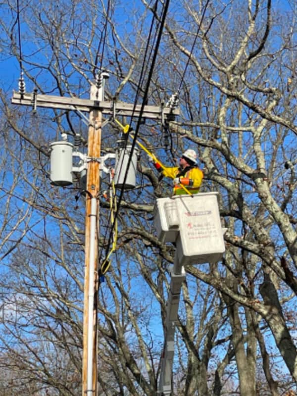
New Update: Here's Latest Rundown Of Power Outages In CT
The most dangerous wind gusts that accompanied a cold front that is moving through the region have passed, but thousands remain without power in Connecticut.
As of around 9 a.m. Saturday, Feb. 4, Eversource is reporting around 3,500 outages statewide, with United Illuminating reporting around 55 outages in its service territory.
These municipalities are reporting the most outages:
Colchester, 570
Woodstock, 374
Greenwich, 263
Danbury, 164
Westport, 92
Related story: Dangerously Cold Wind Chills Will Be Followed By Big Change In Weather Pattern
Storm System Will Be Followed By Big Change In Weather Pattern
A new winter storm that will bring a mix of snow, sleet, rain, and showers to the Northeast will be followed by a big change in the weather pattern.
The storm system, due to arrive in this region after midnight Sunday morning, March 6, with its center now expected to be farther north and east. (See the image above.)
"In the Northeast, the majority of ice or a wintry mix will generally be confined to upstate New York and central and northern New England with rain forecast for Pittsburgh, New York City, Hartford, Connecticut, and Boston," said AccuWeather Senior Meteorologist Bill Deger.…