A Coastal Flood Watch is in effect during high tide on Saturday evening and into late Saturday night for Fairfield County, according to the National Weather Service.
Widespread minor coastal flooding is also forecast for Saturday morning at high tide along western and central Long Island Sound, the Weather Service said.
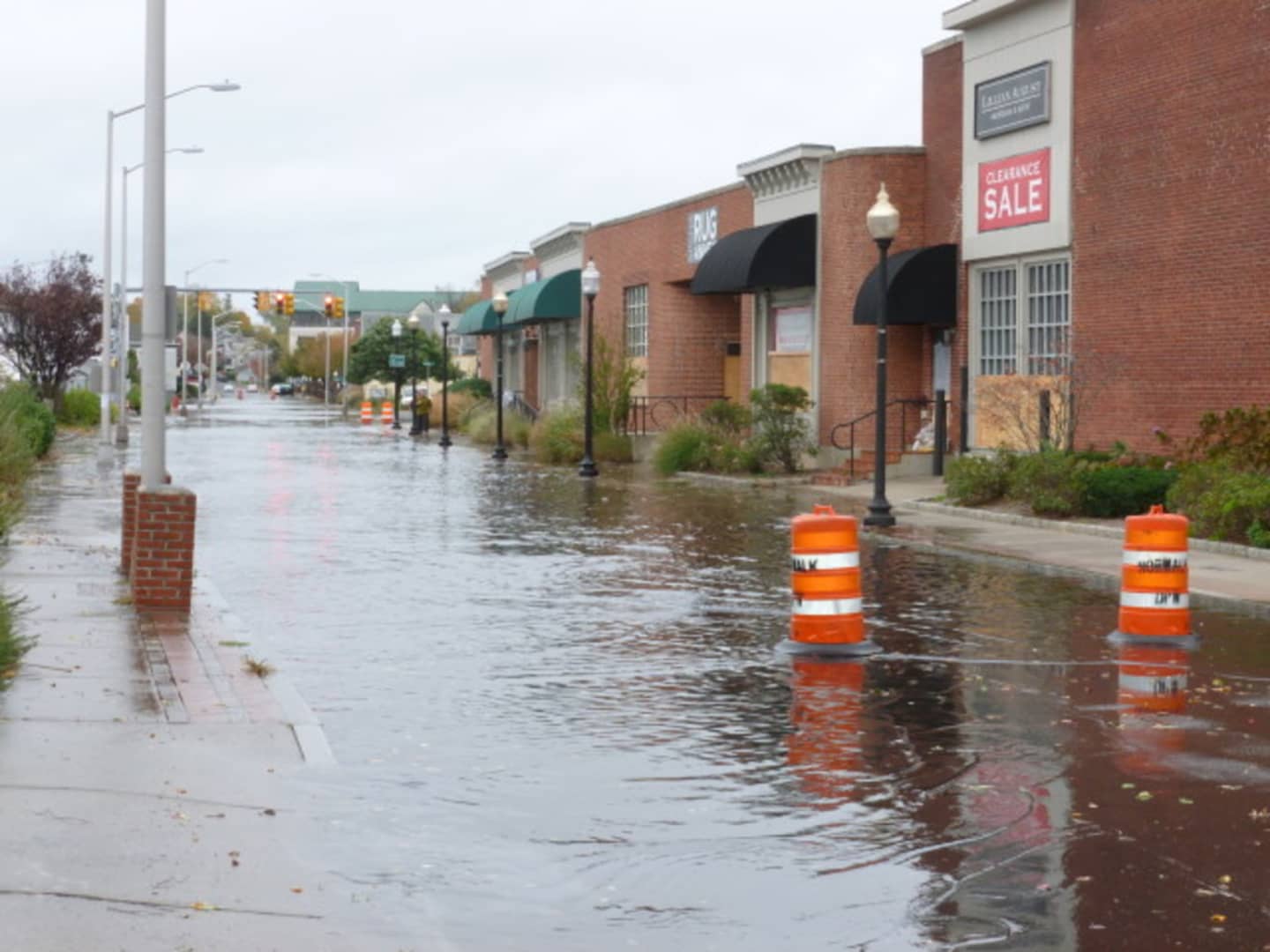
Tidal departures will be 3 to 4 feet above normal, causing moderate coastal flooding. Widespread flooding could occur along vulnerable shore roads and in basements, the weather service warns.
The flooding may be bad enough to cause structural damage or put lives at risk, the weather service said. Coastal residents should be prepared to take action to protect their property.
The snowstorm is expected to hit early Saturday morning as a nor'easter moves up the East Coast.
But the snow will come on Saturday mainly after 1 p.m., with a high near 29 degrees and blustery winds causing wind chills of 10 and 15 degrees, with gusts as high as 46 mph. The chance of snow is 80 percent, with new snow accumulation of 1 to 3 inches possible.
Snow is likely into Saturday evening, mainly before 2 a.m. as temps drop to about 22 degrees with blustery winds. The chance of precipitation is 70 percent with another 2 to 4 inches of snow possible.
The snow should clear out by 9 a.m. Sunday, which will be sunny, with a high near 34.
Click here to follow Daily Voice Greenwich and receive free news updates.