The meeting comes a little more than a year after the first study presentation where the public heard the results of a nearly three-month Army Corps study on the feasibility of building levees or flood walls.
In October 2012, the Town of Greenwich and the Army Corps of Engineers initiated a cost shared feasibility level study to determine if flood risk management opportunities are advisable for the Byram River Basin, Connecticut and New York.
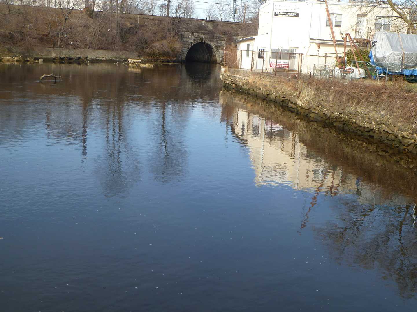
The $3 million study area includes 450 structures on both sides of the Byram River from Bailiwick Road to Route 1, according to Town Engineer Jim Michel. The width of the study area is based on a storm that would cause a "100-year flooding event."
Various construction plans for flood prevention have been attempted since 1972. The combination of Superstorm Sandy, Hurricane Irene and a flood in April 2007 accelerated efforts to improve the flood prevention in the area.
Click here to follow Daily Voice Greenwich and receive free news updates.