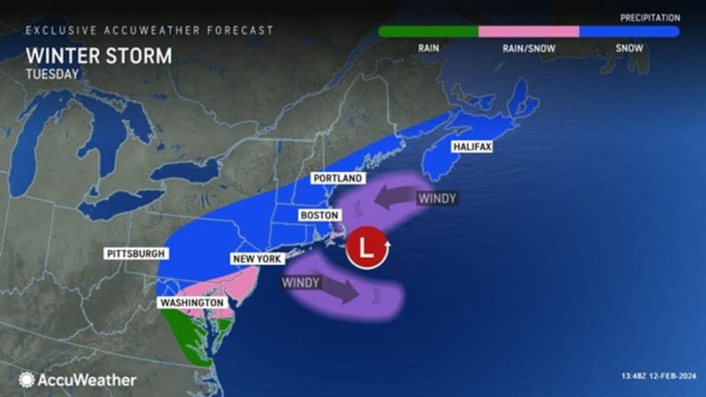

The time frame for the storm is overnight into Tuesday afternoon, Feb. 13, according to the National Weather Service, which says travel could be "very difficult" during that time and "hazardous conditions could impact the Tuesday morning commute."
A Winter Storm Warning is now in effect from overnight to 6 p.m. Tuesday throughout the region.
“Given the trajectory of this storm and the warm to cold conditions leading up to Tuesday, there will be snowfall that can ramp up from a slushy coating to half a foot or more in a matter of a few miles," AccuWeather Meteorologist Adam Sadvary said.
With areas farther south now expected to see snowfall begin a bit earlier, accumulation projections have swung upward, and AccuWeather.com says the storm track may shift southward at last minute, leading to potentially even more accumulation.
In the brand-new projections released by AccuWeather.com on Monday, a widespread 6 to 12 inches of snowfall is predicted for the inland areas shown in the darkest shade of blue in the second image above, including much of the Hudson Valley, Catskills, and areas along the New England border in eastern New York, northern Connecticut, and throughout Massachusetts.
Locally higher amounts of around 18 inches are possible farther north and inland in those areas.
Surrounding areas shown in Columbia blue are expected to get 3 to 6 inches of accumulation.
In spots shown in sky blue, 1 to 3 inches are forecast.
During the height of the storm, winds could gust as high as around 25 to 40 miles per hour Tuesday, leading to possible scattered power outages.
“Snowfall rates of 1-2 inches per hour and locally greater can occur for a brief period on Tuesday, where the highest totals are expected," Sadvary said.
The outlook for Valentine's Day on Wednesday, Feb. 14 calls for mostly sunny skies and a high temperature in the low to mid-30s.
Check back to Daily Voice for updates.
Click here to follow Daily Voice Greenwich and receive free news updates.