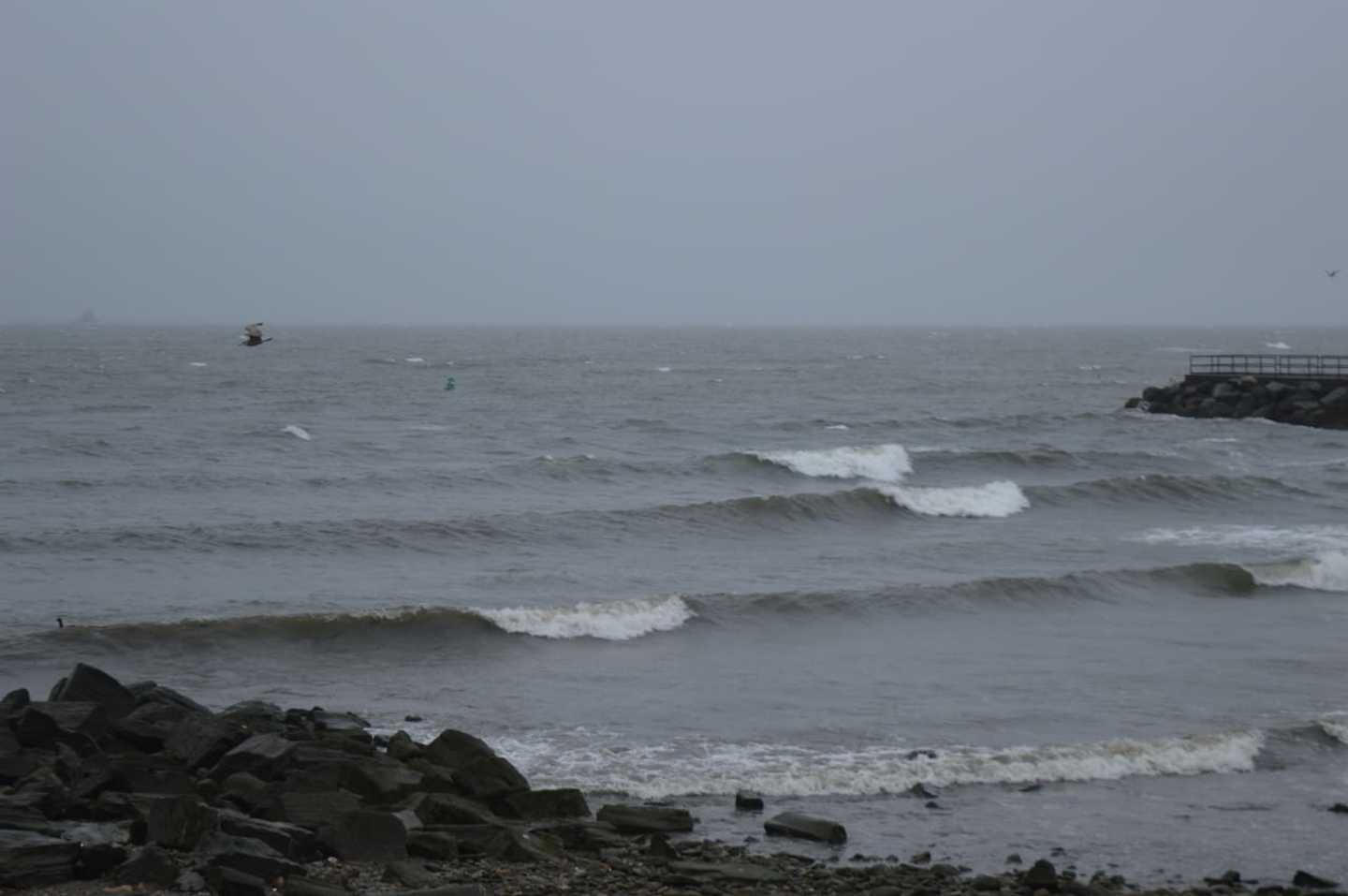
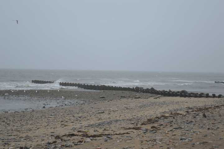

Rain pelted the region Thursday with a flood watch in effect until evening and the heaviest rain and thunderstorms expected to come in the afternoon according to the National Weather Service.
Rain could be heavy at times, before gradually decreasing from west to east into the evening. There will be areas of fog, and an east wind around 17 mph.
A total rainfall of around one to two inches is expected, with locally higher amounts possible with the thunderstorms. The new rainfall could exacerbate already swollen rivers and streams, and creates the potential for river flooding, as well as urban and small stream flooding. Those who live in areas prone to flooding should be prepared.
And it’s possible we’ll see a repeat of today’s dreariness Friday, when there is a 40 percent chance of showers, mainly after 2 p.m. It will be cloudy, with a high inching close to 50.
Look forward to the weekend, as Saturday is expected to be mostly sunny with a high near 53.
Saturday night should be mostly clear with a low around 32.
Sunday looks sunny with a high near 59.
And Mother Nature will be even kinder Monday, when the high is expected to be near 67 under more sunny skies.
Click here to follow Daily Voice Fairfield and receive free news updates.