
"It's the calm before the storm," Community Adviser Teale Stevens said. "There's a very high tide."
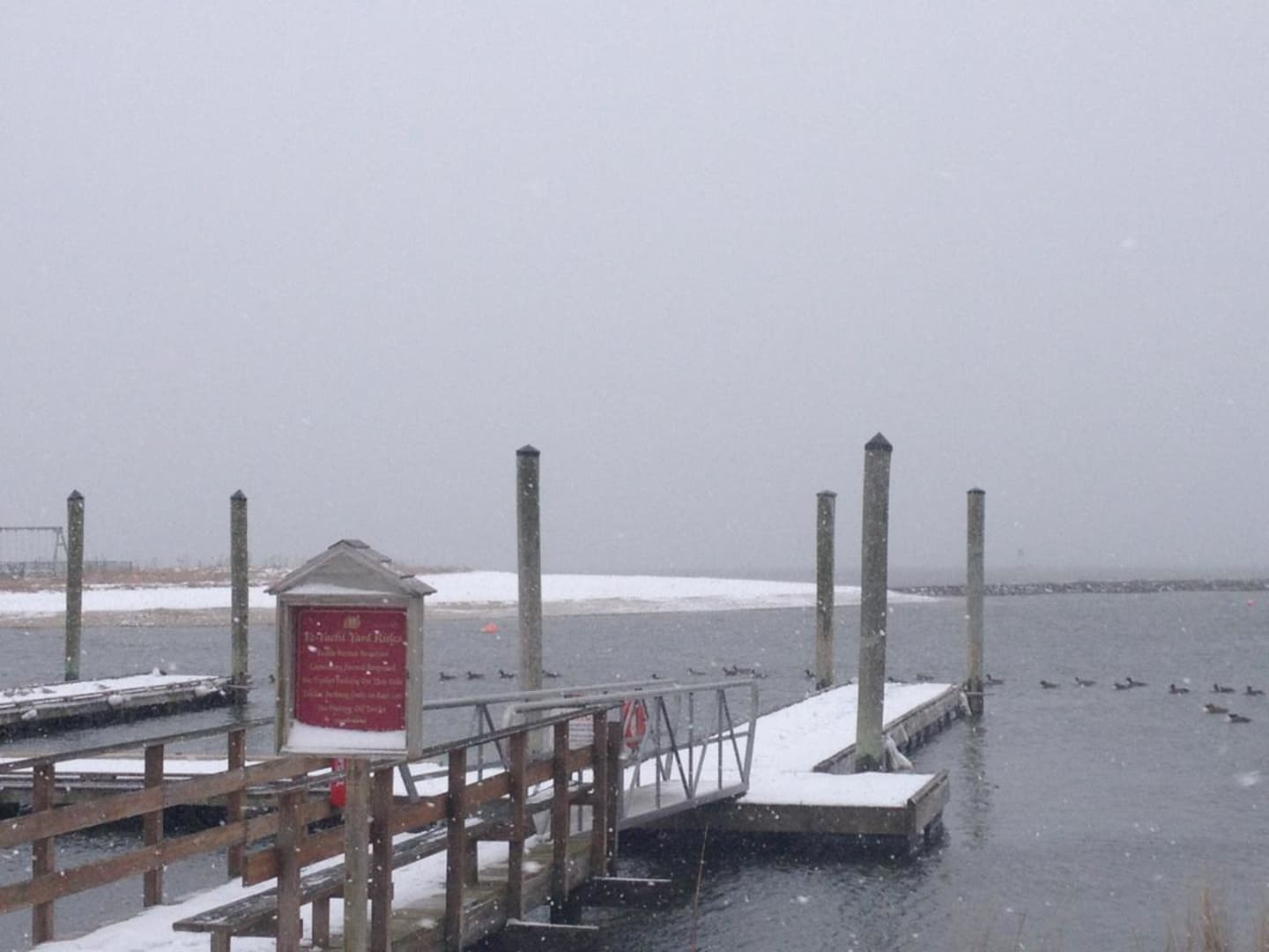
Just off Harbor Road, the Ye-Yacht Yard showed signs of the early dusting, with more snow still to come just an hour into an areawide Blizzard Warning.
By Monday evening, the intensity of snowfall will increase and will be accompanied by wind gusts of up to 60 mph. The heaviest snow is expected to fall after midnight and into Tuesday afternoon.
A Blizzard Warning means a storm is bringing heavy snow and damaging winds. Road conditions will be treacherous and potentially life threatening with poor visibility. Residents are warned not to travel during the storm, and there is a statewide travel ban beginning at 9 p.m. Monday and lasting throughout the storm.
The storm will begin to exit the area around Tuesday evening, but will dump anywhere from 24 to 30 inches of snow, and possibly more in some regions.
Wednesday will be mostly sunny with a high temperature of about 26 degrees.
Do you have a picture of the winter scene near you? Send it along to STrifilio@dailyvoice.com.
Click here to follow Daily Voice Fairfield and receive free news updates.