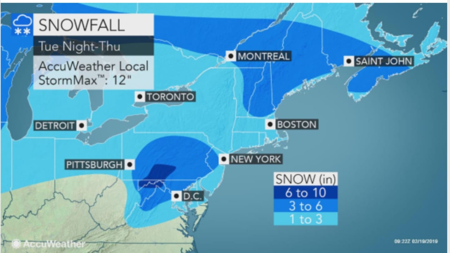
More than 200 million Americans, including residents in the region, will see a mix of snow, sleet and freezing rain from the system.
After a sunny day on Tuesday, Feb. 19 in which the high temperature will be around the freezing mark, Wednesday, Feb. 20 will be cloudy with a high also around 32 degrees.
Snow is expected to arrive just in time for the evening commute on Wednesday, at about 4 p.m.
About one inch of accumulation is possible through the evening. Snow will be followed by a mix of rain, snow, freezing rain, and sleet before midnight, then rain and sleet between midnight and 3 a.m., before a changeover to rain as the temperature rises above freezing.
There's a chance of rain through the morning on Thursday on a cloudy day in which the high temperature will climb to around 50 degrees.
Friday, Feb. 22 will be mostly sunny with a high in the low-40s.
Check back to Daily Voice for updates.
Click here to follow Daily Voice Danbury and receive free news updates.