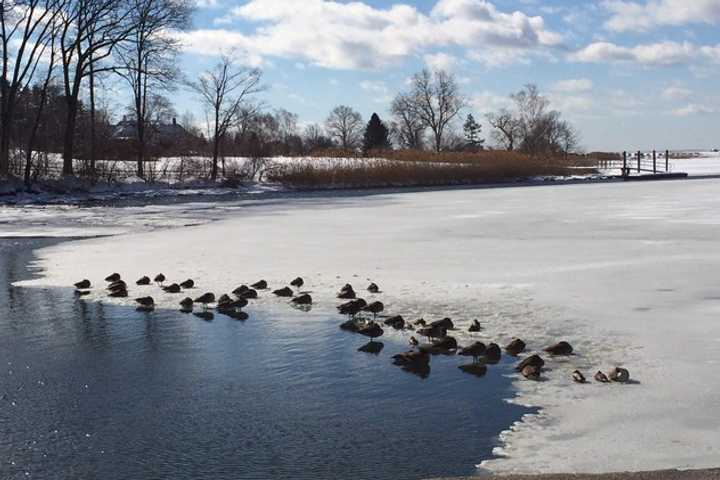
But we are all enduring one last day of the big chill, as well as some colder-than-normal days in the week ahead, said Gary Lessor, assistant to the director of Meteorological Studies and the Weather Center at Western Connecticut State University in Danbury.
Thursday dawned with temperatures only in the 5- to 10-degree range, Lessor said, with wind chills even lower at -5 to -10 degrees.
"We continue to be locked in place with the polar vortex, as Canada continues to pump in the cold air to our region," Lessor said.
Thursday high temperatures in the 20s are about 15 degrees below what is normal for early March, he said. Temperatures will sink again overnight into the low teens.
"But this is the end of the polar vortex for the winter," he said. Temperatures will slowly climb, hitting the upper 30s by Friday and the mid-40s by Saturday. The sunny skies should continue both days.
"That will feel wonderful," Lessor said of the normal temperatures. "But it will be only a one-day reprieve."
It will be back down to upper 30s on Sunday, which is below normal but not as icy as it has been in the past week, he said.
Winds will turn to the southwest on Monday and Tuesday, bring a good warmup into the 40s or 50s, Lessor said. "It will be the first days since mid-February that will be above normal. That should be a nice treat."
The normal high temperature is 45 degrees, the normal low is 25 for this time of year, he said. "March is averaging below normal -- not enough warm air is making its way eastward."
No storms are expected in the next week, and it should stay dry.
The cold returns again Wednesday and Thursday, with temperatures in the 30s. But long-range forecasts show another storm could be in the mix for Wednesday. Depending on the temperature, it could bring snow, a frozen mix, or rain, Lessor said.
But winter can't last forever: The first day of spring is Thursday, March 20, just two weeks away.
Click here to follow Daily Voice Danbury and receive free news updates.
