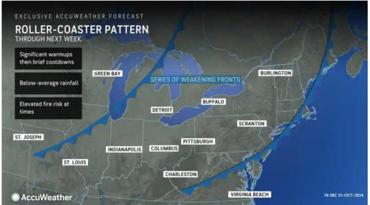
November will start with temperatures in the mid- to upper 70s, nearly 10-20 degrees above normal on Monday, Nov. 1.
According to the National Weather Service, it will be mainly cloudy and breezy.
There will be scattered morning sprinkles, especially closer to the coast.
Wind speeds will be between 10 and 15 miles per hour, with gusts as high as 30 mph.
The frontal system will push through overnight, leading to a sunny, much cooler day on Saturday, Nov. 2, with high temperatures in the upper 50s.
It will be time to "fall back" overnight, as Daylight saving time ends at 2 a.m. Sunday, Nov. 3, when clocks move back an hour.
It will become overcast Sunday night, leading to a mostly cloudy day on Monday, Nov. 4, with high temperatures in the upper 50s.
Clouds will hang around on Election Day, Tuesday, Nov. 5, but temperatures will swing again, with highs in the low 70s.
"For the next seven to 10 days at least, warm days will outnumber chilly ones, relative to the historical average," AccuWeather Senior Meteorologist Brett Anderson said, "This means that when all the days are tallied up, temperatures will be several degrees above that historical average, which is slowly trending downward during November."
Check back to Daily Voice for updates.
Click here to follow Daily Voice Danbury and receive free news updates.
