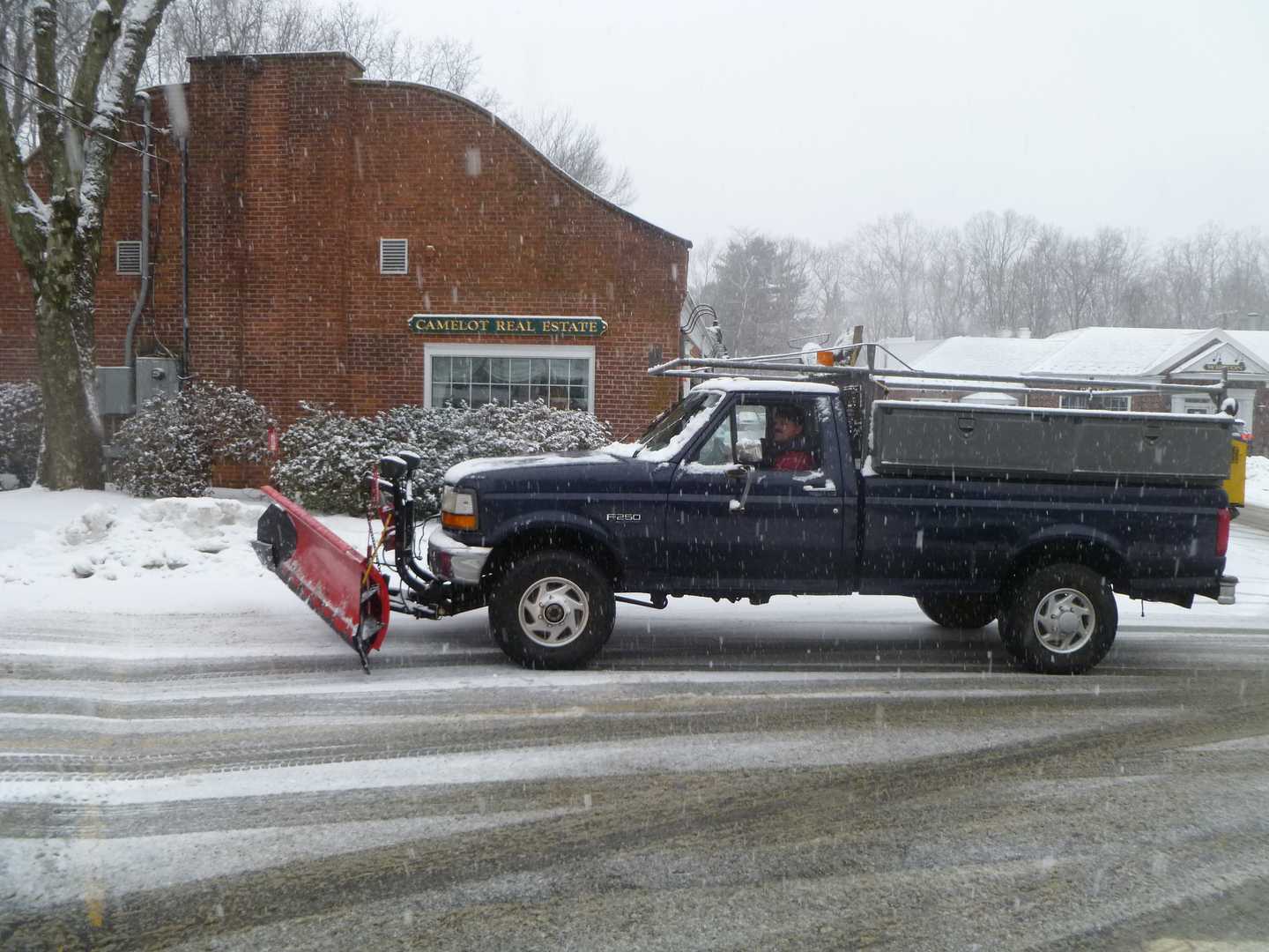

Travel conditions will be hazardous, with near blizzard conditions expected due to the strong winds.
The warning — for the southern half of Connecticut — is in effect from 4 a.m. Saturday to 7 a.m. Sunday.
Heavy snow is likely, with accumulations of 4 to 8 inches likely, the Weather Service said. Northerly winds of 15 to 25 mph — with gusts of up to 50 mph — will cause blowing and drifting snow, which will reduce visibility on roads.
Temperatures will be in the mid-20s throughout the storm.
Severe winter conditions are expected, the weather service said, with significant amounts of snow expected.
It will be dangerous to travel Saturday, and residents are advised to only go out in an emergency.
Also, a gale warning is in effect for Long Island Sound, with northeast winds of 20 to 30 knots with gusts of up to 45 knots. High seas and waves of up to 5 to 7 feet are possible on the Sound during the storm.
Those strong winds and a full moon will combine to cause floods at high tide, the National Weather Service said.
A Coastal Flood Advisory is in effect from 10 a.m. to 2 p.m. Saturday and from 9 p.m. Saturday to 1 a.m. Sunday at high tide along the Sound.
Tides will be 2 to 3 feet above normal, with bringing floods to vulnerable locations. Isolated road closures are possible, but most roads should remain passable. Impact to property should be minimal.
Click here to follow Daily Voice Bridgeport and receive free news updates.