


As the wind picked up and snow began to pile up, the weather service put a Blizzard Warning back into effect until 7 a.m. Sunday for the Fairfield County coastline. A total of 18 to 24 inches of snow was forecast for the shoreline area.
Northern Fairfield County remains under a Winter Storm Warning, with a total of 10 to 14 inches of snow expected.
"Particularly along the shoreline, if you do not need to travel, please stay off the roads as storm moves in and conditions deteriorate," Connecticut Gov. Dannel Malloy said via Twitter.
Blizzard conditions were reported across southern Fairifeld County, with heavy snowfall and strong winds.
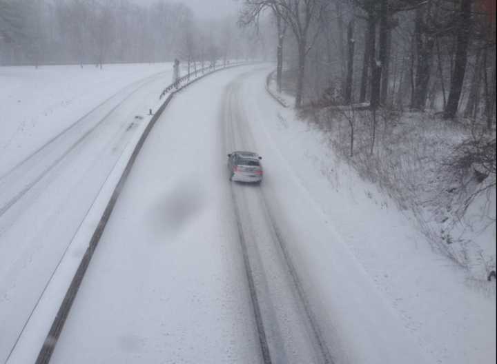
The storm is making for dangerous travel conditions on many roads. Blowing and drifting snow was causing whiteout conditions and visibility of nearly zero along the I-95 and Merritt Parkway corridor.
The weather service also increased the expected snow totals, with 18 to 24 inches expected along the shoreline from Bridgeport to Greenwich. Winds of 20 to 30 mph were blowing, with gusts of up to 50 mph.
In northern Fairfield County, the forecast calls for snowfall totals of 10 to 14 inches, with winds of 15 to 25 mph and gusts of up to 45 mph.
Flooding at high tide is expected along Long Island Sound. Coastal Flood Warnings are in place from 10 a.m. to 2 p.m. and 9 p.m. to 1 a.m.
Heavy snow and blustery conditions will continue throughout the entire day.
North Street in Greenwich was blocked and closed by a fallen pine tree. And Soundview Drive was also closed after a CTTransit bus slid on an icy roadway and slammed into a utility pole. One passenger was hospitalized after the crash.
Snowfall totals reported as of 11 a.m. Saturday included:
- Greenwich: 6 inches
- Cos Cob: 5 inches
- Fairfield: 3 inches
- Bridgeport: 2 inches
- Wilton: 2 inches
Click here to follow Daily Voice Bridgeport and receive free news updates.