
The National Weather Service says an organized line of showers and thunderstorms is expected to develop across central Pennsylvania and western New York and move toward the region Sunday night, April 14.
The system's time frame is from Sunday after nightfall to the early morning hours of Monday, April 15.
"A few of these storms may become strong and/or severe, with the primary threat being strong to damaging winds," the National Weather Service said in a Hazardous Weather Outlook statement issued late Sunday afternoon.
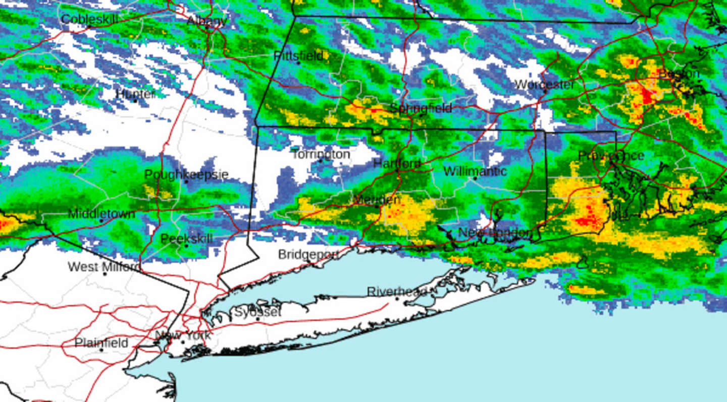
Most severe storm activity is expected in the areas west of the red marker in the second image above from AccuWeather.com. Showers will mainly occur in areas east of the red marker.
"Some of the storms, when they reach our area, may be strong to severe, mainly northwest of NYC," said the weather service. "The main threat will be the strong gusty winds."
Wind gusts could be as high as 50 miles per hour or more in some areas of interior New York, including the Mid-Hudson Valley and the Catskills. As a result, power outages and hazardous travel are likely.
In those locations, the National Weather Service says, "damaging winds and hail greater than 1 inch will be the primary threats, though an isolated tornado or two can not be ruled out."
About a quarter-inch of rainfall is expected, with the strong winds being the biggest threat from the system.
After the system pushes through early Monday morning, there will be clearing, followed by sunny skies and comfortable temperatures in the mid-60s on Monday and Tuesday, April 16.
Clouds will return on Wednesday, April 17, with temperatures in the low to mid-60s.
Look for a chance of showers in the afternoon, with showers likely Wednesday night.
The outlook for Thursday, April 18, calls for mostly cloudy skies, cooler temperatures, mainly in the mid-50s, and a chance of showers.
Check back to Daily Voice for updates.
Click here to follow Daily Voice Bridgeport and receive free news updates.