

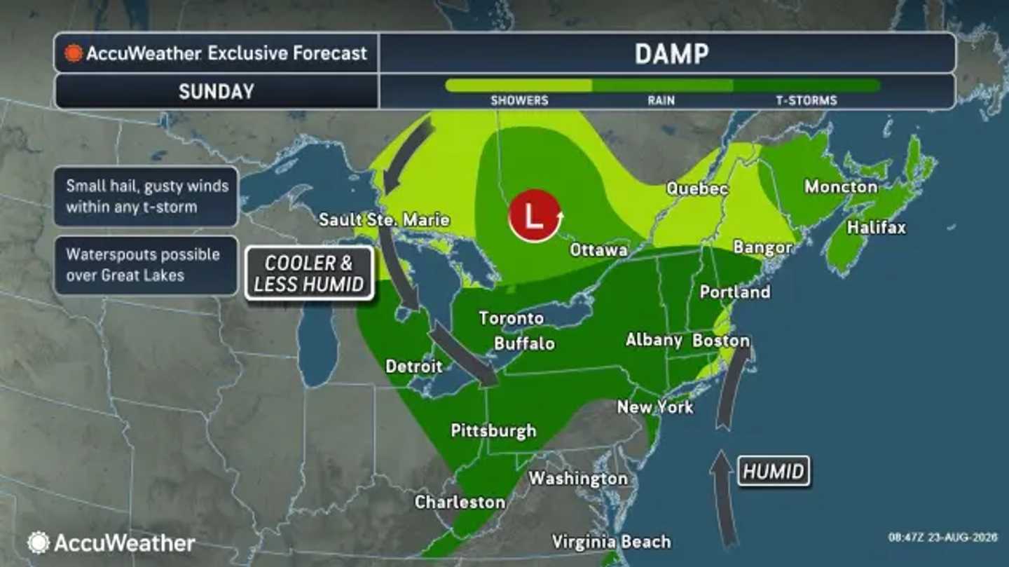


Showers and thunderstorms are expected Sunday morning, Aug. 23, with some areas seeing lingering downpours before conditions gradually improve later in the day, according to the National Weather Service.
The system is moving through after a weekend of scattered storms and rain across parts of the region. Areas with saturated ground could see additional runoff issues if heavier rainfall develops.
AccuWeather says the wet pattern could increase the risk of localized flooding.
"Since August has been wet and the soil is already saturated in some areas, additional showers and storms can easily produce runoff into poor drainage areas and lower-lying spots," AccuWeather Meteorologist Chad Merrill said. "Heavy rainfall rates can also lead to standing water on some roads."
The greatest chance of lingering showers and thunderstorms on Sunday will be in the morning and early afternoon. High temperatures will generally reach the upper 70s to low 80s, with humidity gradually easing as the system moves away.
A major shift follows the storm system.
Drier, cooler air is expected to spread into the Northeast Monday, Aug. 24, bringing lower humidity and more comfortable conditions. Highs will generally range from the mid-70s to around 80 degrees.
The cooler pattern will continue Tuesday, Aug. 25, with mostly sunny skies and pleasant conditions across much of the region.
Wednesday, Aug. 26, should remain comfortable, with partly sunny to mostly sunny skies and temperatures generally in the upper 70s to low 80s.
Another disturbance could bring a return of some clouds and scattered showers Thursday, Aug. 27.
AccuWeather says the cooler air arriving behind the system will mark a noticeable change after a wet stretch across parts of the Northeast. Some areas near the Great Lakes and interior Northeast could see temperatures run 5 to 10 degrees below historical averages.
Check back with Daily Voice for the latest updates.
Click here to follow Daily Voice and receive free news updates.
