

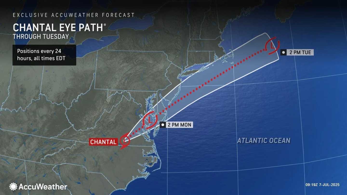

There will be chances for showers and thunderstorms both Monday, July 7, and Tuesday, July 8, with warm and humid conditions.
Localized torrential downpours and flash flooding are also possible both days, the National Weather Service says.
The heaviest rainfall is expected in Virginia, Maryland, Delaware, New Jersey, and Pennsylvania with 2 to 4 inches expected, and locally higher amounts of up to around 6 inches.
As the remnants of Chantal — which is now a Tropical Depression — weaken, the chance for precipitation will decrease on Wednesday, July 9, which will be partly sunny most of the day. Still, afternoon and evening thunderstorms are possible.
Dangerous surf and rip current conditions are anticipated to persist at beaches along the East Coast, stretching from northeastern Florida to the Mid-Atlantic region.
Check back to Daily Voice for updates.
Click here to follow Daily Voice and receive free news updates.
