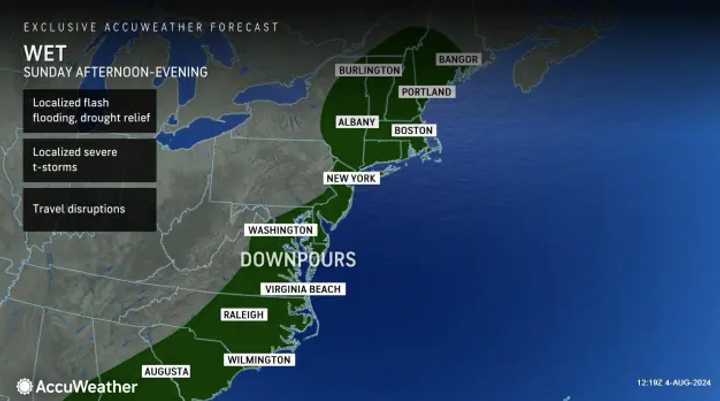
A system that dropped several inches of rain on the Northeast on Saturday, Aug. 3 is expected to be followed by another round of storms on Sunday, Aug. 4, according to AccuWeather and the National Weather Service.
And forecasters say widespread travel disruptions are expected.
Thunderstorms complete with downpours, damaging winds, and localized flash-flooding — specifically "ponding" on highways — are possible in the slow-moving system across the mid-Atlantic and New England after 5 p.m., AccuWeather says.
The duration of the day will be mostly cloudy with a high near 85 before storms develop in the evening, NWS said.
Monday, Aug. 5 will be sunny with a high near 94. This could be the last of the extreme heat for now, though, as the rest of the week, highs are in the 70s and 80s, each day with a chance of storms.
Click here to follow Daily Voice West Springfield and receive free news updates.
