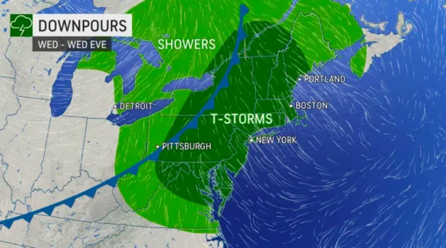
Heavy thunderstorms are possible in central and eastern Pennsylvania, as well as all of New Jersey starting Wednesday afternoon, the NWS and AccuWeather say.
"For the first time since Ida's catastrophic flooding, parts of the Northeast will have the potential for more downpours and gusty winds," AccuWeather Meteorologist Dean Devore said.
The majority of areas expected to get rainfall could see total to amounts of less than a tenth of an inch. Areas that see heavier rains during thunderstorms could see as much as 1.75 inches of rain.
The rain should clear out by Thursday afternoon.
Meanwhile, Hurricane Larry is not expected to impact the area -- save for some rip currents along East Coast shorelines, meteorologists say.
Click here to follow Daily Voice Dauphin and receive free news updates.