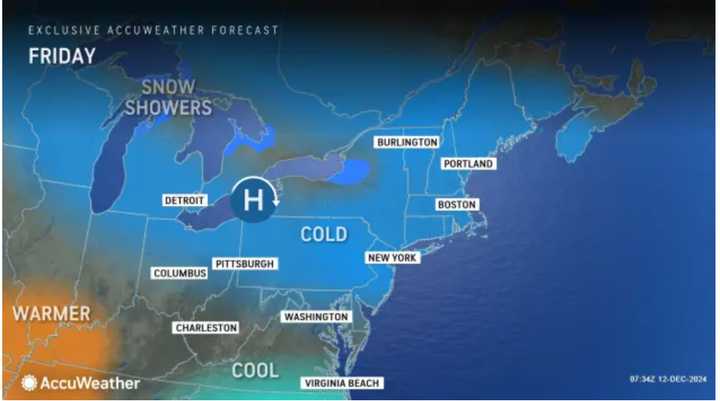
Both Friday, Dec. 13, and Saturday, Dec. 14 will be brisk and dry. (See the first image above from AccuWeather.)
The first round of precipitation will come on Sunday, Dec. 15. Most locations will see rain either during the day or at night, according to the National Weather Service.
Areas in the interior Northeast could see up to 3 inches of snowfall and icy conditions from the system that will linger into Monday, Dec. 16. (Click on the second image above.)
There will be rain throughout the day on Monday and the high temperature will be in the mid-40s, and over 50 degrees farthest south.
Rain and showers will continue until around midday on Tuesday.
Check back to Daily Voice for updates.
Click here to follow Daily Voice Mahopac and receive free news updates.

