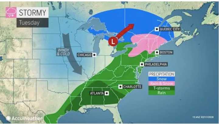
As the storm nears, clouds will increase Monday night, Feb. 17. The overnight low will be in the mid 20s.
The system will arrive in the region shortly after daybreak on Tuesday, Feb. 18.
New York City, Long Island, southern Westchester and coastal Connecticut will see all rain for the duration of the storm.
Areas north of I-287 in New York and the Merritt Parkway in Connecticut and south of I-84 will see a chance for snow from daybreak until around 8 a.m., followed by a chance for rain mixed with some snow, and then all rain after 10 a.m. Little or no snow accumulation is expected.
North of I-84 in New York and Connecticut, a period of snow will affect the morning commute and the changeover to rain won't happen until around noontime. In those spots, up to an inch of snowfall accumulation is possible. (See second image above.)
Tuesday's high temperature will rise to the mid to upper 40s with rain at times throughout the afternoon and into the evening before ending around 9 p.m. Clouds will decrease overnight and the low temperature will be in the low to mid 30s.
Wednesday, Feb. 19 will be mostly sunny with a high temperature in the low to mid 40s. The temperature will drop to the low to mid 20s overnight with partly cloudy skies.
Check back to Daily Voice for updates.
Click here to follow Daily Voice Kingston and receive free news updates.

