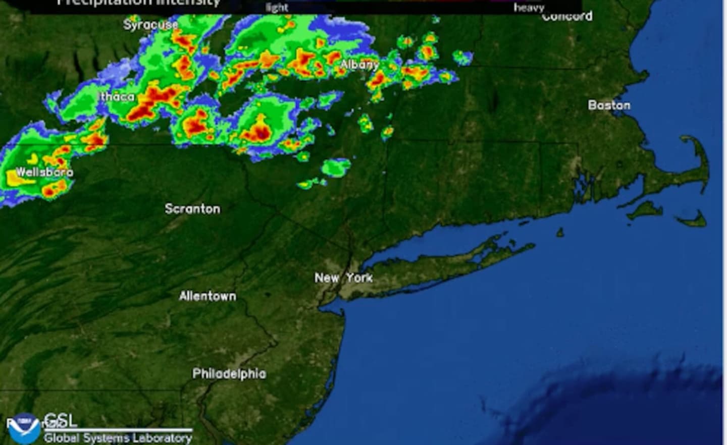
A new round of potentially powerful thunderstorms could sweep through the region a day after a line of severe storms with gusty winds knocked out power to thousands.
The time frame for possible storm activity is late Wednesday afternoon to late Wednesday evening, July 7.
The primary threat from the potential storms is damaging winds, the National Weather Service said in a Hazardous Weather Outlook statement issued early Wednesday.
Wednesday will be another hot and humid day.
A Heat Advisory is in effect for the entire region until Wednesday evening. There will be a mix of sun and clouds during the day with a high temperature around 90 degrees, and heat indices (the combination of the heat and humidity) in the upper 90s.
Check back to Daily Voice for updates.
Click here to follow Daily Voice Yorktown and receive free news updates.