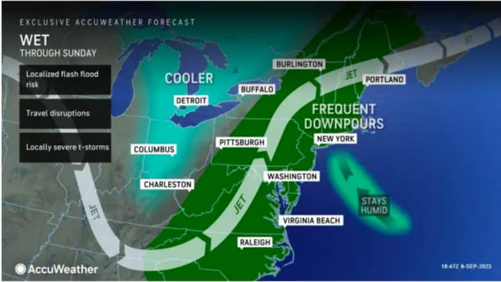
The next window for storm activity is in the afternoon and evening on Sunday, Sept. 10.
"Slow-moving showers and thunderstorms along a stalled frontal boundary could produce locally heavy downpours this afternoon and evening," the National Weather Service said in a Hazardous Weather Statement issued early Sunday morning.
The main threat will be damaging winds, with additional threats for isolated large hail and flash flooding triggered by drenching downpours, according to the National Weather Service.
It will remain cloudy on Sunday, Sept. 10 with a high temperature of around 80 degrees. Scattered showers and thunderstorms will once again be likely in the afternoon and evening.
Monday, Sept. 11 will be mostly cloudy with a high temperature in the upper 70s with showers likely and isolated thunderstorms possible.
The outlook for Tuesday, Sept. 12 calls for partly sunny skies with a high temperature in the upper 70s. There could be scattered afternoon showers and a spotty storm, before the chance for precipitation increases Tuesday evening.
Wednesday, Sept. 13 will be mostly cloudy with more showers likely and a high temperature in the mid-70s.
The long stretch of unsettled weather will finally come to an end on Thursday, Sept. 14, which will be sunny and pleasant with more seasonable temperatures, with the high in the low 70s.
Check back to Daily Voice for updates.
Click here to follow Daily Voice Yorktown and receive free news updates.


