A Wind Advisory has been issued for the entire region by the National Weather Service. It will be in effect from 6 p.m. Wednesday, Oct. 16 through 6 p.m. Thursday, Oct. 17.
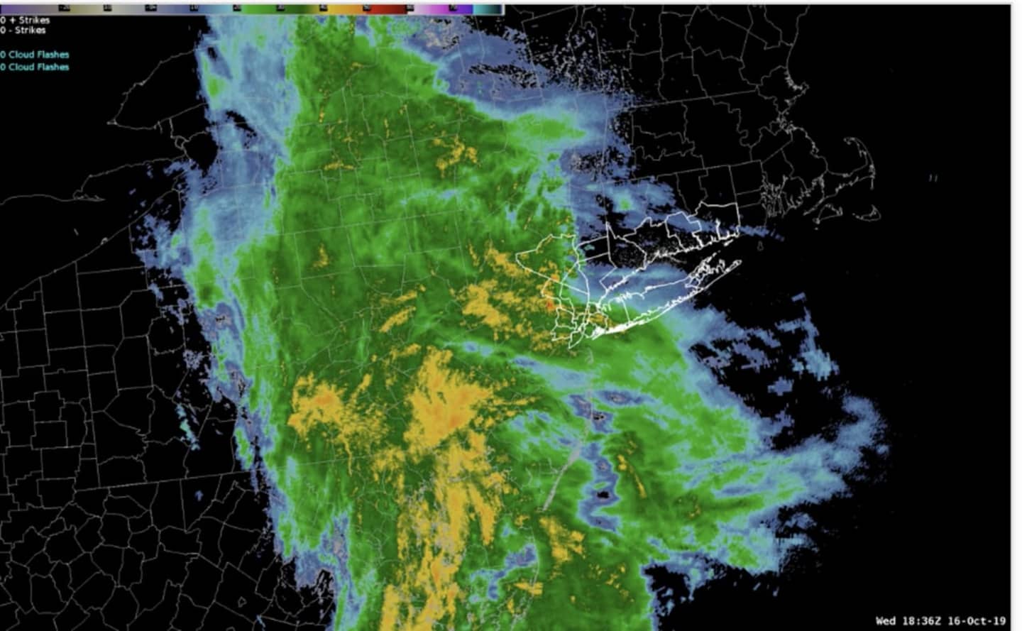
The storm, which developed off the Delmarva Peninsula, intensified as it moved north, and arrived in the area in the middle of the afternoon on Wednesday.
But the winds will strengthen after the rainfall ends overnight.
Winds out of the southeast between 20 to 30 mph with gusts up to 50 mph along the coast on Wednesday evening will expand across the entire area late Wednesday night into Thursday.
The strong winds may blow down limbs, trees, and power lines, causing outages.
Between 2 and 3 inches of rainfall is expected with locally heavier amounts.
Widespread flooding is not expected, but isolated minor flooding of poor drainage and low lying areas is possible.
Coastal Flood Advisories and Coastal Flood Statements are in effect for the high-tide cycle from late Wednesday night through early Thursday morning, Oct. 17.
Rain will end before dawn with a chance of showers through the morning on Thursday. The strong winds will continue until nightfall. Wind will be out of the west at around 22 miles per hour, with gusts as high as 40 to 50 mph.
The afternoon will be partly sunny with a high temperature near 60 degrees.
Check back to Daily Voice for updates.
Click here to follow Daily Voice Ulster Sullivan and receive free news updates.