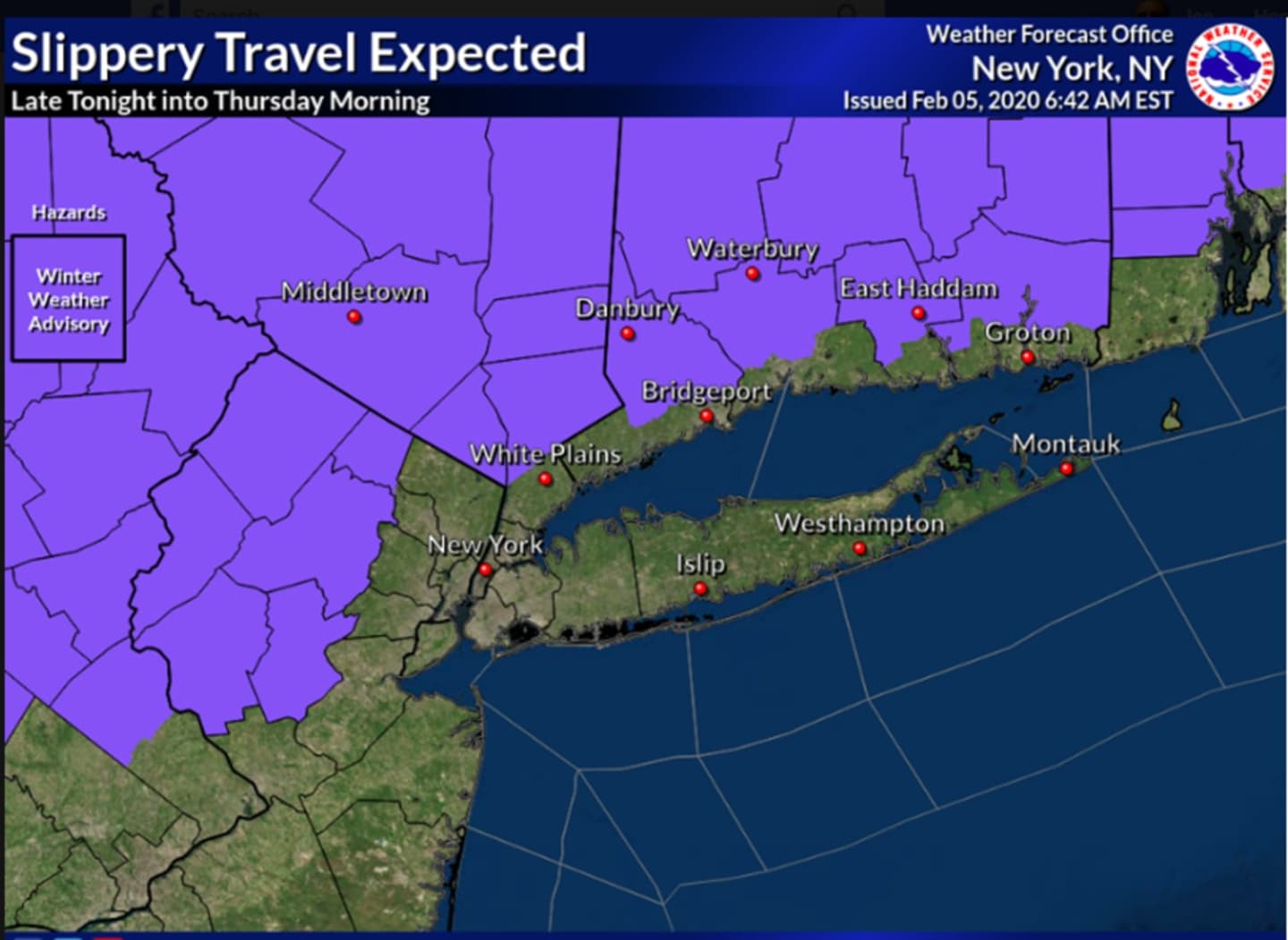


A Winter Weather Advisory is now in effect from 11 p.m. Wednesday, Feb. 5 through 10 a.m. Thursday, Feb. 6 for the areas shown in purple in the first image above.
Ice accumulations of around one-tenth of an inch and sleet accumulation of up to one inch are expected during that time frame in areas north of I-287 in New York and the Merritt Parkway in Connecticut where hazardous conditions are possible for the Thursday morning commute.
Little or no sleet accumulation is expected in New York City, Southern Westchester, coastal Connecticut and Long Island.
The highest ice and sleet accumulations are expected across Orange and Putnam counties and far northern portions of interior southern Connecticut.
Wednesday will be a cloudy day with a high temperature in the mid 40s. The overnight low will dip to the upper 20s farther north and inland while hovering at or just above the freezing mark farther south as the storm arrives.
Precipitation will change to all rain by mid to late Thursday morning for the areas farther north, where Thursday's high temperature will climb to around 40 degrees during the day. Farthest south, the high temperature will be in the mid 40s.
The temperature will hold steady in the upper 30s overnight, keeping precipitation in the form of rain. The high temperature on Friday, Feb. 7 will be in the low to mid 40s.
Rain is expected until around 3 p.m. when the system finally moves off the coast.
Temperatures will then fall Friday night and overnight into Saturday, Feb. 8 into the low 20s.
Saturday will be sunny and colder with a high temperature in the low to mid 30s.
Check back to Daily Voice for updates.
Click here to follow Daily Voice Ulster Sullivan and receive free news updates.