
Before the precipitation arrives, we will have one more dry day on Monday, June 24, which will be mostly sunny, with a high in the low 80s. (See second image above for projected high temps from throughout the region.) Winds will be calm and out of the southwest at around 6 miles per hour.
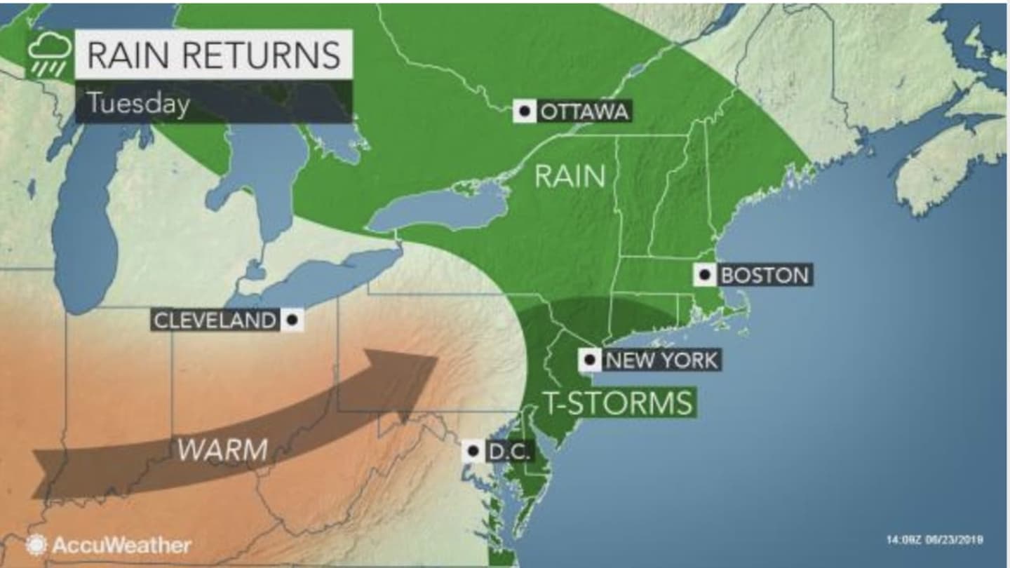
Showers arrive in the predawn hours on Tuesday, June 25. There will be more showers, along with patchy fog, throughout the morning, with thunderstorms possible through around 3 p.m. It will be cloudy throughout the day with a high temperature in the upper 70s to around 80 degrees.
Precipitation will taper off by late afternoon, with just a slight chance of more showers and thunderstorms through the late evening. Rainfall amounts of between a quarter to half of an inch are expected.
Seasonable weather returns on Wednesday, June 26, which will be mostly sunny, with a high temperature in the low to mid 80s.
Check back to Daily Voice for updates.
Click here to follow Daily Voice Tarrytown-SleepyHollow and receive free news updates.