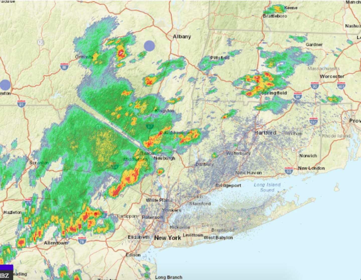
Storm activity is expected to continue through the afternoon and evening.
Wind gusts up to 60 miles per hour and penny-sized hail are possible.
"There is the potential for heavy rainfall which may produce localized flash flooding," the National Weather Service said in a Hazardous Weather Statement on Tuesday. "Gusty winds and lightning strikes are also threats."
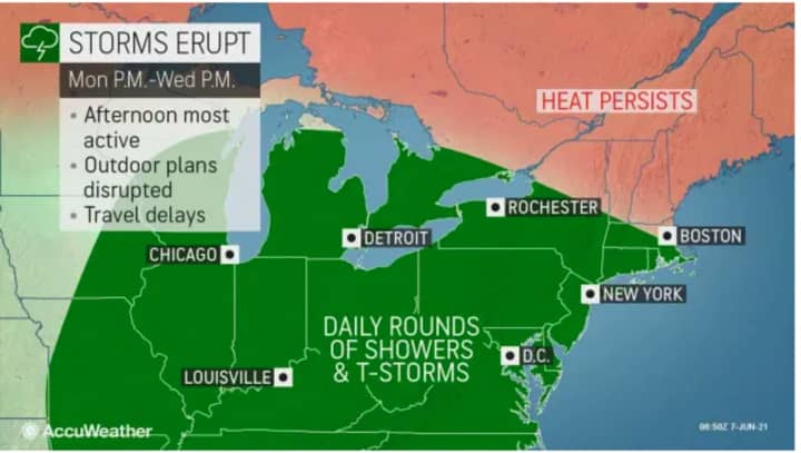
Wednesday, June 9 will be another hot, humid, and potentially stormy day, with partly sunny skies, and a high temperature in the mid 80s with showers and thunderstorms likely during the day, and a chance for more storms after nightfall.
Relief will finally arrive on Thursday, which will be partly sunny with a high temperature in the mid 70s.
It will be even cooler on Friday, June 11, with cloudy skies keeping the high temperature in the mid 60s. There will be a chance of showers during the day and in the evening.
Check back to Daily Voice for updates.
Click here to follow Daily Voice Tarrytown-SleepyHollow and receive free news updates.