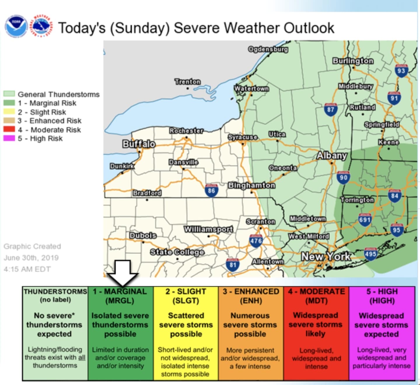
The passage of a cold front will bring with it a chance for a new round of isolated, severe thunderstorms.
The storm threat -- about a 50-50 chance for most of the region -- will be late in the morning into the early afternoon on Sunday, June 30, mainly between 11 a.m. and 2 p.m. The main threat from the storm system will be strong wind gusts and small hail, according to the National Weather Service.
Sunday has started out with mostly sunny skies. The high temperature will be around between 80 and 82 degrees. It will be breezy with a northwest wind between 9 to 14 miles per hour increasing to 16 to 21 mph in the afternoon.
Monday, July 1 will be sunny with a high temperature in the low 80s.
Check back to Daily Voice for updates.
Click here to follow Daily Voice Southwest Dutchess and receive free news updates.