Will there be another? The answer may not only be yes, but possibly later than what is typically normal.
In fact, it could happen in the Northeast right around Labor Day on Monday, Sept. 4, according to AccuWeather.com, which says the window for summery-type weather is "during the first week or two of September, slightly later than the historical average for the latest 90-degree day."
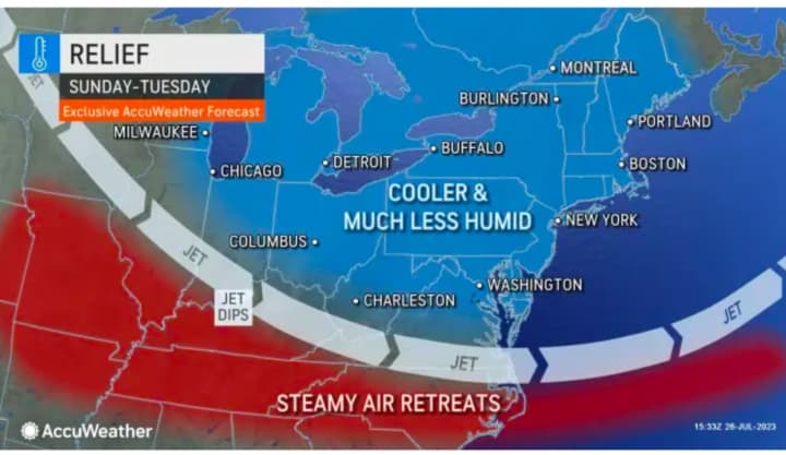
But for now, a refreshing blast of cooler air has arrived, with conditions on Sunday morning, July 30 having something of a September feel - traditional September, that is.
Sunday will be pleasant and comfortable with mostly sunny skies and a high temperature ranging from the upper 70s to the low 80s, according to the National Weather Service.
Look for more of the same on Monday, July 31 through Thursday, Aug. 3 with mostly sunny skies and a high temperature right around 80 degrees each day before the next chance of precipitation comes overnight Thursday into Friday, Aug. 4.
Check back to Daily Voice for updates.
Click here to follow Daily Voice South Orange and receive free news updates.


