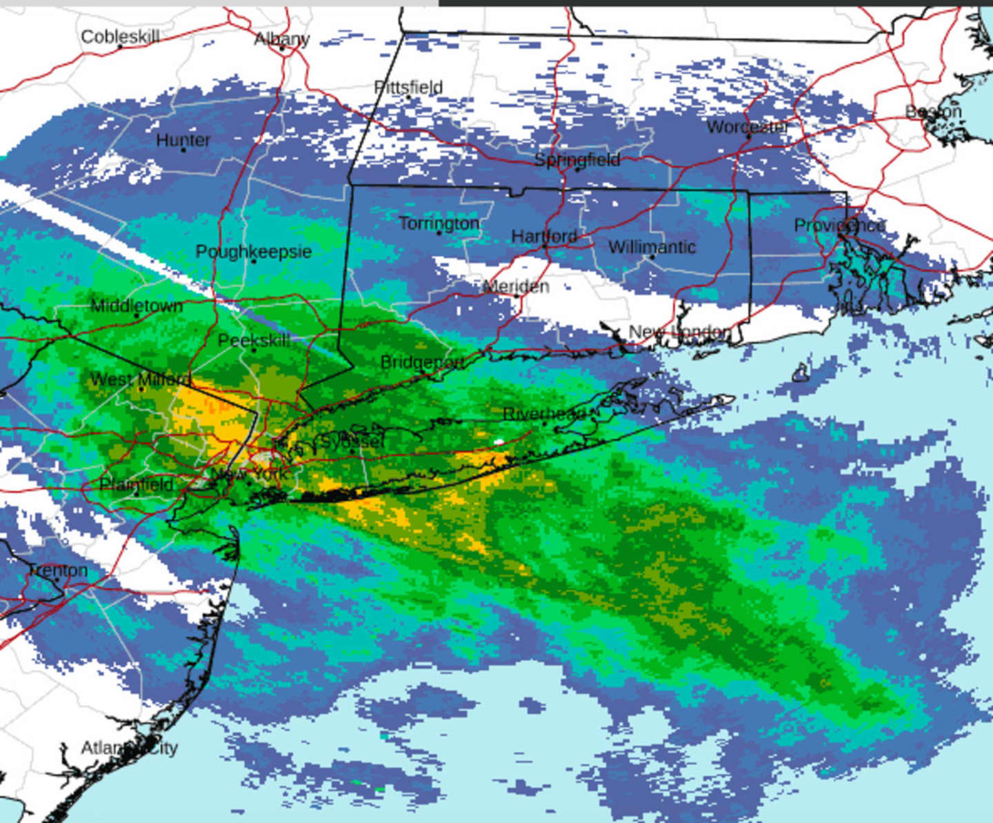
"As precipitation moves into the area, a quick rain/sleet mix is being observed at the coast before an eventual changeover to all rain," the National Weather Service said in a statement at around 3:30 p.m. Wednesday. "Farther inland, a mix of snow and sleet is expected to last the next few hours."
Areas mainly north of the I-84 corridor will continue to see freezing rain and snow at times Wednesday night, with icing likely in some spots, and power outages possible.
Areas in northern New York and northern New England could see more than a foot of snowfall.
It will remain unsettled on Thursday, Feb. 23, with some lingering showers at times.
Skies will gradually clear overnight, leading to a mostly sunny day on Friday, Feb. 24. It will be blustery during the day and into the evening.
It then turns much colder late Friday and into the first half of the weekend, according to the National Weather Service.
Wake-up wind chills Saturday morning, Feb. 25 will be in the teens on a day in which the high temperature will be right around the freezing mark.
Check back to Daily Voice for updates.
Click here to follow Daily Voice Somers and receive free news updates.